![[object Object]](https://cdn.sanity.io/images/nbs5i7n6/production/85a7b8de12a8169bb3c1f9c5f509df1620f6b2df-1024x768.jpg?rect=0%2C96%2C1024%2C576&w=1920&h=1080&q=90&auto=format&fit=max&fm=webp&dl=)
Motorcycle routes in Madrid 🇪🇸
5 routes available
The Community of Madrid packs the Guadarrama mountain passes, the northern and western sierras, and charming mountain villages into a compact area. Biking roads just a stone's throw from the capital.
Mountain passes of the Central System, secondary roads through the Sierra Norte, generally good tarmac. Moderate traffic at weekends. Best in spring and autumn.
- Published routes
- 5From 130 to 160 km per route
- Total kilometres
- 700 km
- Average difficulty
- 3/5 · Moderate
- Best season
- March, April, May, June, September, October, November
- Highest elevation gain
- 2,400 mPeak altitude 1,860 m
- Routes with GPX
- 5 of 5
What riding Madrid is like
By road character: linked curves (5 routes), charming villages (3 routes), mountain pass (3 routes), low traffic (2 routes), technical road (1 route).
The longest is Sierra Norte: Buitrago and Patones at 160 km; the shortest, Puerto de Canencia and Lozoya at 130 km. The highest point is reached on Puerto de Navacerrada and Cotos, at 1,860 m. The most demanding one rates 3 out of 5 for difficulty.
The season most of them share runs from March, April, May, June, September, October, November.
These routes pass through villages such as Patones de Arriba, Lozoya, Miraflores de la Sierra, Rascafría, and Robledo de Chavela. And stop at viewpoints such as Hayedo de Montejo, Puerto de Canencia, Puerto de Navacerrada, Puerto de Cotos, and Embalse de San Juan. They cross passes such as Puerto de Morcuera (1.796 m) and Puerto de Canencia (1.524 m).
Routes in Madrid
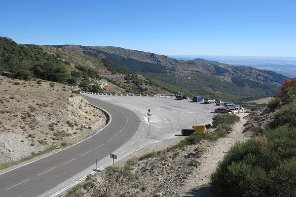
Morcuera-Canencia: The Madrid Bikers' Big Loop
Madrid
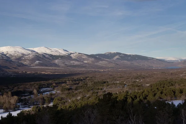
Puerto de Canencia and Lozoya
Madrid
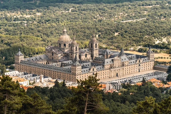
Sierra Oeste: San Lorenzo and Robledo
Madrid
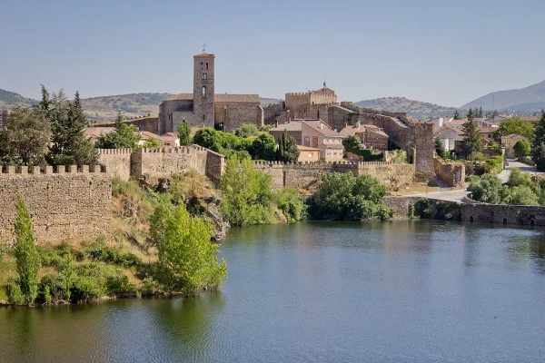
Sierra Norte: Buitrago and Patones
Madrid
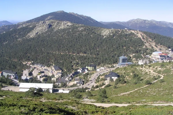
Puerto de Navacerrada and Cotos
Madrid
Take all 5 Madrid routes as GPX
A single file with every track in the region, ready for your GPS or for Calimoto, Kurviger and Google Maps.
Free · No spam
Compare every route in Madrid
5 published routes in Madrid, 700 km in total. Each row shows the route's actual figures: distance, riding time, route type, surface, difficulty, cumulative ascent, best season and downloadable GPX track.
Scroll the table sideways to see every column.
| Route | Distance | Riding time | Type | Surface | Difficulty | Elevation gain | Best season | GPX |
|---|---|---|---|---|---|---|---|---|
| Morcuera-Canencia: The Madrid Bikers' Big Loop | 140 km | 3h 30min | Loop | Tarmac | 3/5 · Moderate | 2,400 m | March, April, May, June, September, October, November | Download |
| Puerto de Canencia and Lozoya | 130 km | 3h 15min | Loop | Tarmac | 3/5 · Moderate | 1,400 m | March, April, May, June, September, October, November | Download |
| Sierra Oeste: San Lorenzo and Robledo | 140 km | 3h 15min | Loop | Tarmac | 2/5 · Easy | 1,300 m | March, April, May, June, September, October, November | Download |
| Sierra Norte: Buitrago and Patones | 160 km | 4h | Loop | Tarmac | 3/5 · Moderate | 1,700 m | March, April, May, June, September, October, November | Download |
| Puerto de Navacerrada and Cotos | 130 km | 3h 15min | Loop | Tarmac | 3/5 · Moderate | 1,800 m | May to October | Download |