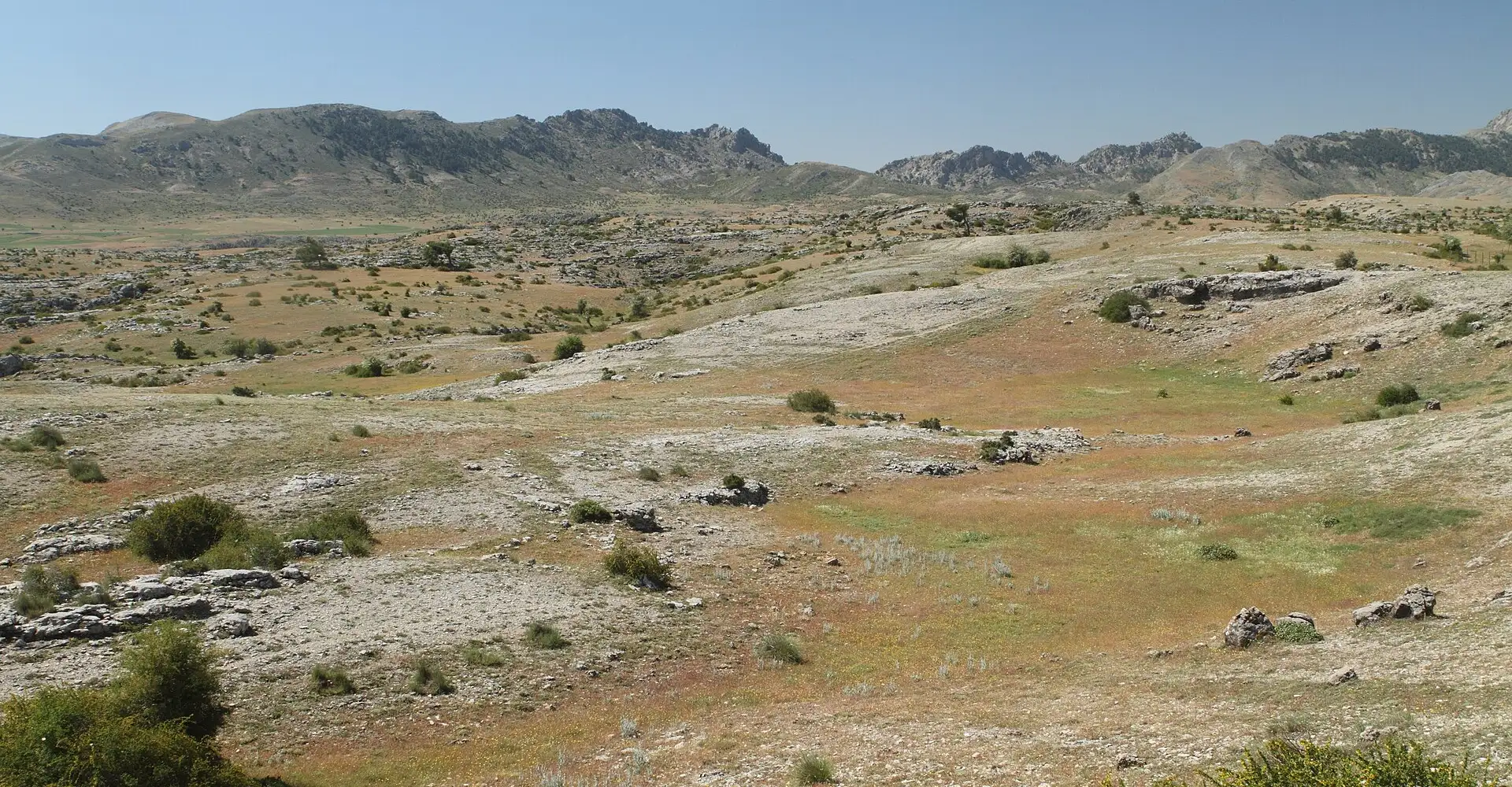
Sierra de Cazorla, Segura and Las Villas
Spain’s largest natural park offers endless roads winding through pine forests, viewpoints overlooking the Tranco reservoir and the source of the Guadalquivir.
Checking the route…
Roadbook
5 points- km 0Start
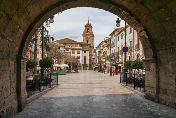
Cazorla
776 m - km 57.5
Embalse del Tranco
657 mViews of the park’s largest reservoir.
Viewpoint - km 67.2
Hornos de Segura
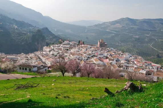
711 mA village perched on a cliff.
Village - km 87.1
Segura de la Sierra
1,149 mOne of the highest villages in Andalusia.
Village - km 182.1Finish
Cazorla
775 m
Take the route to Google Maps
- Cazorla
- Embalse del Tranco
- Hornos de Segura
- Segura de la Sierra
- Cazorla
We add waypoints from the GPX so Google Maps sticks to the route's roads (they show up as extra stops). To follow the exact track, use the GPX.
Profile
409 → 1,246 mRoadbook distances and heights come from the route GPX.
Highlights
- 01Cazorla, Segura and Las Villas Natural Park
- 02A-319: the best motorbike route in Jaén
- 03The Tranco Reservoir and the source of the Guadalquivir
- 04Segura de la Sierra: a village high up in the mountains
About this route
The Cazorla, Segura and Las Villas Natural Park is Spain’s largest protected area (over 200,000 hectares) and yet it remains one of the least well-known outside Andalusia. For motorcyclists, this is a godsend: 200,000 hectares mean hundreds of kilometres of challenging roads, good tarmac and the almost absolute guarantee that whichever mountain pass you choose will have less traffic than even the busiest local road in the Pyrenees. The A-319, the backbone of the park, is one of the five best motorcycling roads in Spain, yet hardly anyone from the north knows about it.
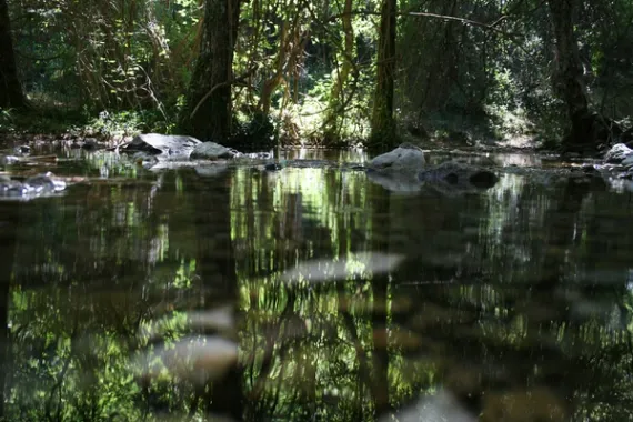
These mountain ranges have a geological feature that makes them unique: they are the water reservoir of the southern peninsula. This is where the Guadalquivir, the river that defines Andalusian civilisation, has its source, as does the Segura, the backbone of the arid south-east. The source of the Guadalquivir, at the Cañada de las Fuentes, is a trickle of water that literally springs from a crevice and can be reached by motorbike to a nearby car park. There is something thrilling about the thought that this tiny trickle of water will eventually nourish Seville, Córdoba and Cádiz, five hundred kilometres further west.
The park is home to the largest stand of black pine (Pinus nigra) in Europe, a majestic tree that can live for over 800 years and whose timber was used to build both Philip II’s galleons and the cathedrals of southern Andalusia. A few hundred-year-old specimens can still be seen along the roadside. The density of wildlife is also exceptional: mountain goats, red deer, wild boar, griffon vultures and the last stable population of bearded vultures in the south of the Iberian Peninsula following their reintroduction.
In terms of driving, the A-319 between Empalme del Valle and Coto Ríos is probably the best stretch. A wide road, with tarmac in good condition, continuous bends that flow into one another for 30 km without a single traffic light or major junction, and the Tranco reservoir coming into view on the left whenever the forest clears. It’s one of those roads where a motorcyclist enters a state of total flow and doesn’t want to stop. If you take the climb up to Hornos de Segura (perched above the reservoir on a cliff) and then on to Segura de la Sierra — one of the highest villages in Andalusia, at 1,150 m — it makes for a day out you’ll never forget.
An interesting historical detail: local tradition attributes the birthplace of the Renaissance poet Jorge Manrique – author of the ‘Coplas a la muerte de su padre’, one of the most famous poems in Spanish literature – to Segura de la Sierra, although most historians place his birthplace in Paredes de Nava (Palencia) and the fact is not documented with certainty. But what’s more useful for motorcyclists to know is that in Hornos de Segura there’s the Mirador del Embalse, a terrace suspended over the void with 270° views of the Tranco Gorge. It’s the perfect place to stop at midday, enjoy a set meal for twelve euros and plan the rest of the route. Fill up before entering the park: there are only two petrol stations inside, and one of them is usually closed.
Practical information
Weather
Snow is possible in winter. Cool summers thanks to the altitude and the pine forests.
Traffic
Very little traffic. A few tourists in the summer.
Fuel stops
Refuel in Cazorla. There are few petrol stations within the park.
Where to stay on this route
The towns this route passes through — useful for splitting it into stages or sleeping near the start. Book ahead in high season.
- Hornos de SeguraSee places to stay
- Segura de la SierraSee places to stay
- CazorlaSee places to stay
Affiliate links: if you book through them, Nomadiq earns a small commission at no extra cost to you.
Published on