

Motorcycle routes in Morocco 🇲🇦
7 routes available
- Routes
- 7
- km
- 2,280
- High point
- 2,190 m
Morocco is the most accessible African motorcycle destination from Spain: just 14 km from the port of Tarifa, it offers mountain roads through the Rif and the Atlas, intact medieval medinas, desert, kasbahs and a culture that captivates the European traveller. A must for the adventurous rider.
A combination of tarmac roads of variable quality (excellent on main routes, mediocre on secondary ones), off-road tracks, high mountain passes (up to 2,260 m at the Tizi n'Test) and coastal stretches. Defensive riding essential: chaotic city traffic, animals on the road, inconsistent signage. Season: October-May (avoid summer due to extreme heat).
The routes, highest first
Altitude · difficulty- 01Middle Atlas: Ifrane, Azrou and the Cedars2,190 m
- 02Tizi n'Test: the High Atlas pass2,092 m
- 03Todra Gorges and Dadès1,680 m
- 04Fez, Meknes and the imperial route1,000 m
- 05Mediterranean Coast: Al Hoceima and Eastern Rif800 m
- 06Rif: Chefchaouen and the route of the blue mountains650 m
- 07Tangier to Essaouira: the Atlantic route300 m
- Published routes
- 7From 200 to 679 km per route
- Total kilometres
- 2,280 km
- Average difficulty
- 4/5 · Hard
- Best season
- March, April, May, October, November
- Highest elevation gain
- 3,130 mPeak altitude 2,190 m
- Routes with GPX
- 7 of 7
What riding Morocco is like
By road character: linked curves (6 routes), low traffic (3 routes), charming villages (3 routes), technical road (3 routes), coastal (2 routes), mountain pass (2 routes), canyon (1 route).
The longest is Tangier to Essaouira: the Atlantic route at 679 km; the shortest, Tizi n'Test: the High Atlas pass at 200 km. The highest point is reached on Middle Atlas: Ifrane, Azrou and the Cedars, at 2,190 m. The most demanding one rates 5 out of 5 for difficulty.
The season most of them share runs from March, April, May, October, November.
These routes pass through villages such as Tetuán, Chefchaouen, Azrou, Midelt, Taroudant, Jebha, and Al Hoceima. And stop at viewpoints such as Akchour (cascadas a pie), Cruce al Cèdre Gouraud (7 km de pista), Garganta del Dadès, Garganta del Todra, and Tizi n'Test.
Routes in Morocco
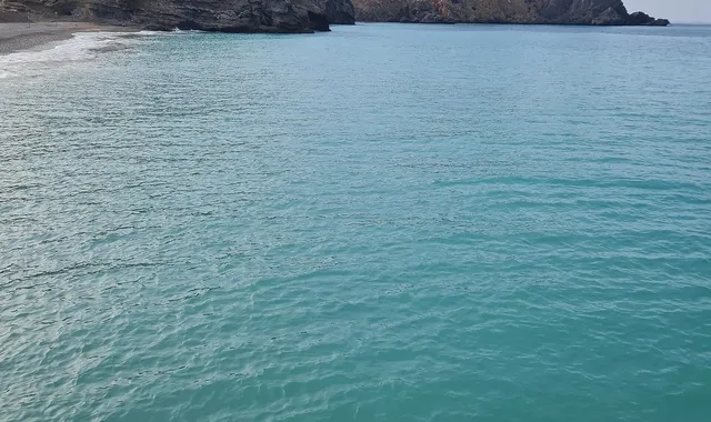
Morocco
Mediterranean Coast: Al Hoceima and Eastern Rif
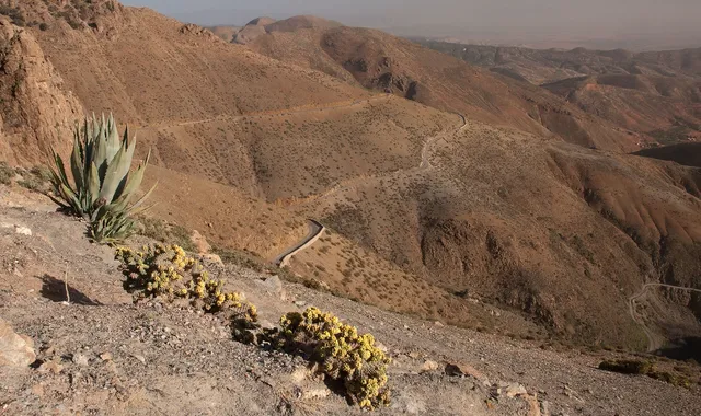
Morocco
Tizi n'Test: the High Atlas pass
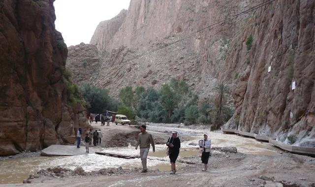
Morocco
Todra Gorges and Dadès
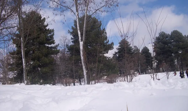
Morocco
Middle Atlas: Ifrane, Azrou and the Cedars
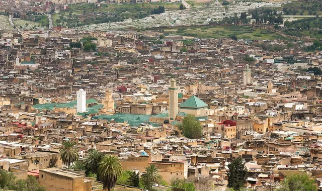
Morocco
Fez, Meknes and the imperial route
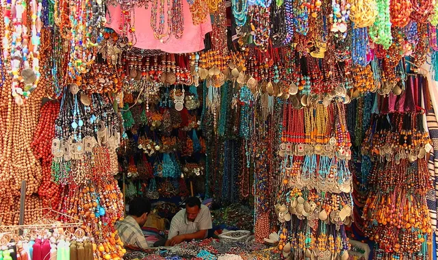
Morocco
Tangier to Essaouira: the Atlantic route
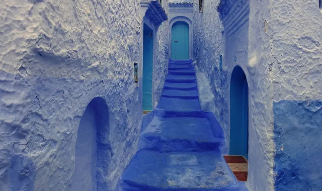
Morocco
Rif: Chefchaouen and the route of the blue mountains
Compare every route in Morocco
7 published routes in Morocco, 2,280 km in total. Each row shows the route's actual figures: distance, riding time, route type, surface, difficulty, cumulative ascent, best season and downloadable GPX track.
Scroll the table sideways to see every column.
| Route | Distance | Riding time | Type | Surface | Difficulty | Elevation gain | Best season | GPX |
|---|---|---|---|---|---|---|---|---|
| Mediterranean Coast: Al Hoceima and Eastern Rif | 250 km | 6h | One-way | Tarmac | 3/5 · Moderate | 2,000 m | March, April, May, October, November | Download |
| Tizi n'Test: the High Atlas pass | 200 km | 6h | One-way | Tarmac | 5/5 · Expert | 2,800 m | March, April, May, October, November | Download |
| Todra Gorges and Dadès | 287 km | 8h | One-way | Mixed | 4/5 · Hard | 2,140 m | March, April, May, October, November | Download |
| Middle Atlas: Ifrane, Azrou and the Cedars | 279 km | 7h | Out & back | Tarmac | 3/5 · Moderate | 2,620 m | March, April, May, October, November | Download |
| Fez, Meknes and the imperial route | 300 km | 8h | Loop | Tarmac | 3/5 · Moderate | 1,800 m | March, April, May, October, November | Download |
| Tangier to Essaouira: the Atlantic route | 679 km | 24h | One-way | Tarmac | 3/5 · Moderate | 1,540 m | February, March, April, May, October, November | Download |
| Rif: Chefchaouen and the route of the blue mountains | 285 km | 8h | Out & back | Mixed | 4/5 · Hard | 3,130 m | March, April, May, October, November | Download |