![[object Object]](https://cdn.sanity.io/images/nbs5i7n6/production/31783673b0ad34aae44ff0b86182791934fba2a1-1920x1277.jpg?rect=0%2C99%2C1920%2C1080&w=1920&h=1080&q=90&auto=format&fit=max&fm=webp&dl=)
Motorcycle routes in Galicia 🇪🇸
6 routes available
Galicia offers a spectacular coastline of cliffs, the Rías Baixas, the Ribeira Sacra and the inland mountain ranges. Winding roads through eucalyptus forests with views over the Atlantic.
Clifftop coastal roads, very twisty secondary roads inland, generally good tarmac. Frequent rain year-round but mild temperatures. Best from May to October.
- Published routes
- 6From 140 to 200 km per route
- Total kilometres
- 1,060 km
- Average difficulty
- 3/5 · Moderate
- Best season
- May to September
- Highest elevation gain
- 2,400 mPeak altitude 1,640 m
- Routes with GPX
- 6 of 6
What riding Galicia is like
By road character: linked curves (5 routes), charming villages (5 routes), coastal (4 routes), low traffic (2 routes), canyon (1 route), technical road (1 route).
The longest is Costa da Morte: lighthouses and cliffs at 200 km; the shortest, Rías Baixas: O Grove and Cambados at 140 km. The highest point is reached on O Courel and Lugo mountains, at 1,640 m. The most demanding one rates 4 out of 5 for difficulty.
The season most of them share runs from May to September.
These routes pass through villages such as Muxía, Sanxenxo, O Grove, Folgoso do Courel, Seoane do Courel, Viveiro, O Barqueiro, and Castro Caldelas. And stop at viewpoints such as Cabo Vilán, Cabo Fisterra, Balcóns de Madrid, Garita de Herbeira, and Cabo Ortegal.
Routes in Galicia

Rías Altas: Viveiro, Mondoñedo and Galicia's North Coast
Galicia
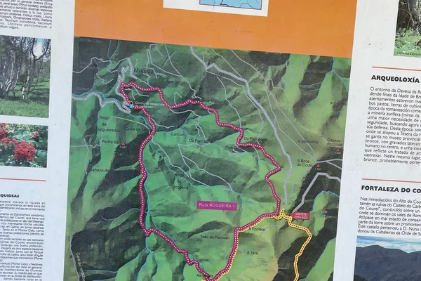
O Courel and Lugo mountains
Galicia
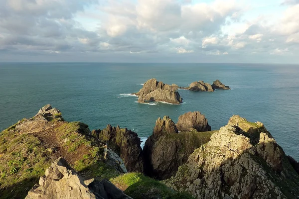
Cabo Ortegal and Serra da Capelada
Galicia
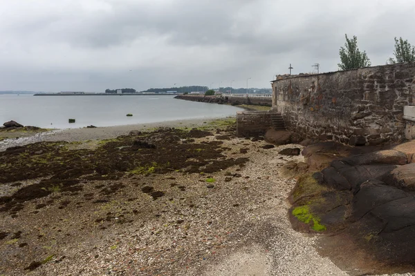
Rías Baixas: O Grove and Cambados
Galicia
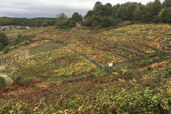
Ribeira Sacra: Sil River Canyons
Galicia
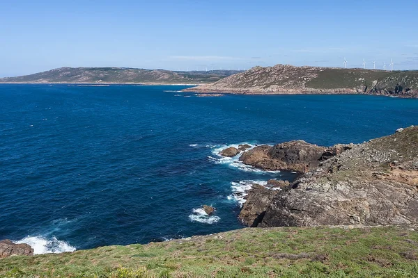
Costa da Morte: lighthouses and cliffs
Galicia
Take all 6 Galicia routes as GPX
A single file with every track in the region, ready for your GPS or for Calimoto, Kurviger and Google Maps.
Free · No spam
Compare every route in Galicia
6 published routes in Galicia, 1,060 km in total. Each row shows the route's actual figures: distance, riding time, route type, surface, difficulty, cumulative ascent, best season and downloadable GPX track.
Scroll the table sideways to see every column.
| Route | Distance | Riding time | Type | Surface | Difficulty | Elevation gain | Best season | GPX |
|---|---|---|---|---|---|---|---|---|
| Rías Altas: Viveiro, Mondoñedo and Galicia's North Coast | 180 km | 4h 30min | Loop | Tarmac | 3/5 · Moderate | 1,800 m | May to September | Download |
| O Courel and Lugo mountains | 190 km | 4h 30min | Loop | Tarmac | 4/5 · Hard | 2,400 m | May to October | Download |
| Cabo Ortegal and Serra da Capelada | 170 km | 4h | Loop | Tarmac | 3/5 · Moderate | 1,500 m | May to September | Download |
| Rías Baixas: O Grove and Cambados | 140 km | 3h 30min | Loop | Tarmac | 2/5 · Easy | 800 m | May to September | Download |
| Ribeira Sacra: Sil River Canyons | 180 km | 4h 30min | Loop | Tarmac | 3/5 · Moderate | 1,700 m | March, April, May, June, September, October, November | Download |
| Costa da Morte: lighthouses and cliffs | 200 km | 5h | Loop | Tarmac | 3/5 · Moderate | 1,500 m | May to September | Download |