Sierra de Gúdar and Valdelinares
A climb to Spain’s highest village, Valdelinares (1,692 m), through the Sierra de Gúdar. Technical roads, alpine views in the heart of the plateau and an iconic mountain pass for motorcyclists.
Checking the route…
Roadbook
5 points- km 0Start
Mora de Rubielos
1,029 m - km 18.7
Alcalá de la Selva
1,406 mA village with a castle in the heart of the Sierra de Gúdar.
Village - km 41.6
Valdelinares
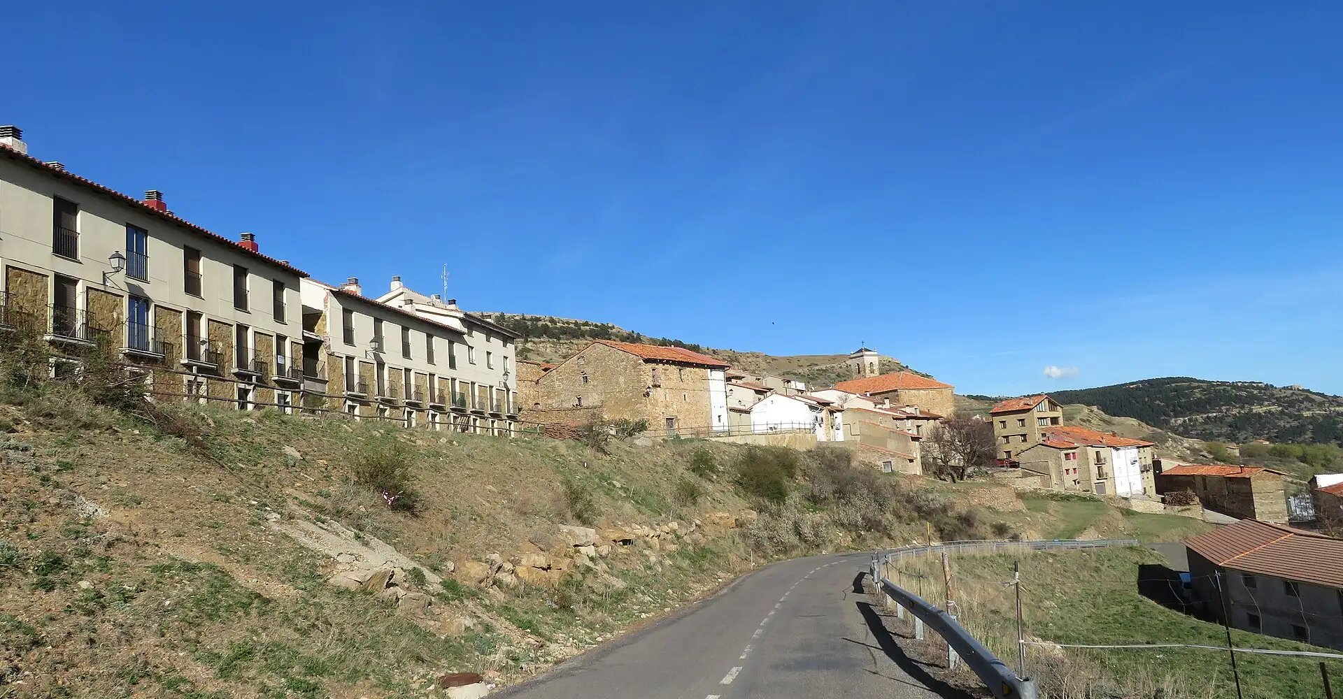
1,696 mThe highest village in Spain, at 1,692 m.
Viewpoint - km 77.6
Rubielos de Mora
936 mA medieval village with an award-winning historic centre.
Monument - km 89.9Finish
Mora de Rubielos
1,029 m
Take the route to Google Maps
- Mora de Rubielos
- Alcalá de la Selva
- Valdelinares
- Rubielos de Mora
- Mora de Rubielos
We add waypoints from the GPX so Google Maps sticks to the route's roads (they show up as extra stops). To follow the exact track, use the GPX.
Profile
931 → 1,776 mRoadbook distances and heights come from the route GPX.
Highlights
- 01Valdelinares: Spain’s highest village (1,692 m)
- 02Valdelinares Ski Resort
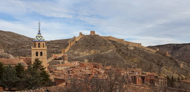
- 03Rubielos de Mora: an award-winning medieval village
- 04A-228: technical and panoramic
About this route
Valdelinares holds an official title that is hard to believe when you see it for the first time: it is the highest inhabited municipality in the whole of mainland Spain, at an altitude of 1,692 metres. To put this into context, it is higher than most Swiss villages and more than 200 metres higher than the famous Trevélez in the Alpujarras (which for a long time claimed the record). The village itself is modest — barely a hundred inhabitants in winter — but its very existence at that altitude, with stone houses huddled around the church, is a geographical rarity that makes the motorbike journey worthwhile just to see it. And the road to get there is probably the best in the whole of the Sierra de Gúdar.
The Sierra de Gúdar forms part of the Maestrazgo massif in Teruel but has its own distinct character: it is higher, more wooded, better preserved and, above all, home to the small but historic Valdelinares ski resort, one of the few ski resorts in the south of the Iberian Peninsula, alongside the nearby Javalambre and Sierra Nevada. In winter it is blanketed in snow and the landscape is reminiscent of the Austrian Alps on a smaller scale. In summer, maximum temperatures rarely exceed 25°C, whilst in the rest of Aragon they hover around 40°C, making the area an ideal motorcycling retreat during the hottest months.
Mora de Rubielos, the natural starting point for the route, is another pleasant surprise. This small village in the Gúdar-Javalambre region was, during the 14th century, the capital of a powerful lordship linked to the Fernández de Heredia family, and as a reminder of that prosperity, it still boasts two unique gems: the Fernández de Heredia Castle, an imposing fortress-palace with a Renaissance inner courtyard; and the former Collegiate Church of Santa María, a Gothic church on a cathedral-like scale whose construction spanned over a hundred years and whose Baroque altarpiece is one of the most spectacular in Aragon. A stroll through Mora before heading up into the mountains is the best possible introduction.
The A-228 road from Mora to Alcalá de la Selva and Valdelinares is the backbone of motorcycling in the area. It is a continuous climb stretching for around 35 km, with wide, technical bends, road surfacing in good condition (it is part of the regional road network, managed by the Government of Aragon, and is well maintained due to the tourist importance of the ski resort) and very little traffic outside of winter weekends. The summit of the climb, just before reaching Valdelinares, is a pass with no official name but stands at over 1,800 m, making it one of the highest tarmac-surfaced passes in Spain outside the Pyrenees and the Sierra Nevada. The views to the south, over the Maestrazgo and the valleys of Castellón, are vast.
An interesting fact for motorcyclists: Valdelinares has a very distinctive livestock-rearing tradition linked to transhumance. Until the 1950s, every autumn the herds would make their way down from here on journeys lasting several days, following the ‘cañadas reales’ (royal cattle tracks) which still exist and can be travelled along (on off-road motorbikes) in some sections. Fill up in Mora before heading up: there are no petrol stations up there.
Practical information
Weather
Heavy snowfall from November to April. Cool summers. June to September is the motorcycling season.
Traffic
Traffic is light, except in winter when there is ski tourism.
Fuel stops
Petrol stations in Mora de Rubielos and Alcalá de la Selva.
Where to stay on this route
The towns this route passes through — useful for splitting it into stages or sleeping near the start. Book ahead in high season.
- Alcalá de la SelvaSee places to stay
- Rubielos de MoraSee places to stay
- Mora de RubielosSee places to stay
Affiliate links: if you book through them, Nomadiq earns a small commission at no extra cost to you.
Published on