Tous Reservoir and the Inland Júcar Ribera
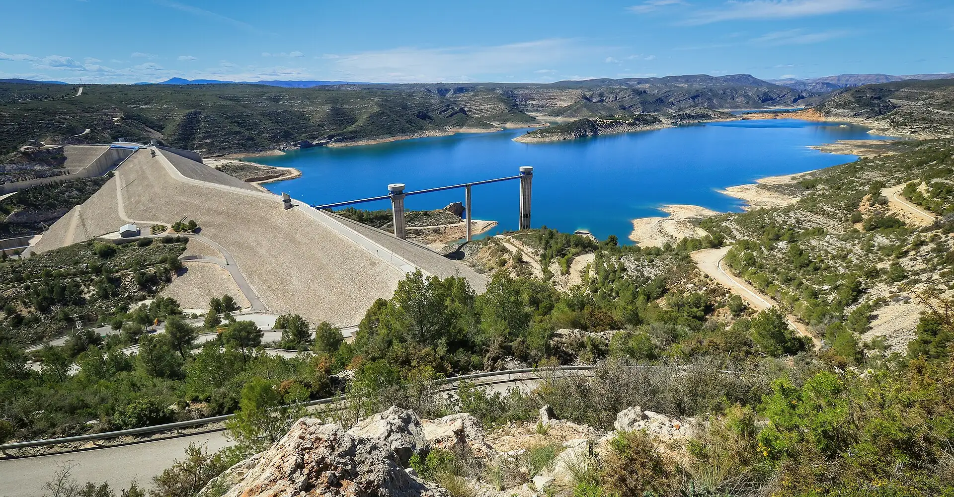
The Tous reservoir, the roads through the heart of the Ribera del Júcar and the Sierra de Enguera. Turquoise waters, orange trees, challenging bends and the hidden landscapes of inland Valencia.
Checking the route…
Roadbook
5 points- Start
Alzira
Embalse de Tous
A turquoise lake nestled amongst the mountains, a scenic road.
ViewpointAnna (Gorga del Salto)
A waterfall and natural pool near the village.
VillageEnguera
A village in the interior with a heritage of Arab hydraulic engineering.
Village- Finish
Alzira
Take the route to Google Maps
- Alzira
- Embalse de Tous
- Anna (Gorga del Salto)
- Enguera
- Alzira
We add waypoints from the GPX so Google Maps sticks to the route's roads (they show up as extra stops). To follow the exact track, use the GPX.
Highlights
- 01Tous Reservoir: turquoise waters nestled amongst the mountains
- 02Empty roads in the Valencian countryside
- 03Anna: Gorga del Salto, waterfall and natural pool
- 04Transition from farmland to mountains over 20 km
About this route
The Tous reservoir is one of the great riding secrets of the Valencia region. Built after the devastating pantanada of 1982 — the collapse of the old dam that flooded the Ribera and killed dozens — the new reservoir has created a turquoise lake wedged between mountains that, when full, recalls an Alpine one. The CV-580 following its western shore is a delight: constant bends, water views, pine and rosemary on both sides, and next to no traffic.
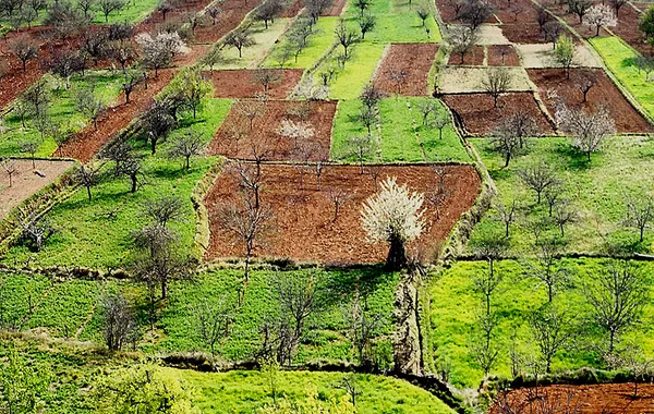
The approach from Alzira inland on the CV-50 is a perfect transition from the Valencian huerta (orange groves, rice paddies) to Mediterranean mountain (holm oak, pine, rosemary). The contrast is dramatic: in barely 20 km you go from the flat, fertile fields of the Ribera Baixa to the first spurs of the Sierra de Enguera, where the roads begin to twist between limestone hills under Mediterranean scrub.
The route includes some of the most enjoyable stretches for Valencian motorcyclists: the climb up the CV-560, with medium-radius bends amongst pine trees; the descent towards the Ayora Valley along quiet roads; and the return journey via Enguera and Anna, where the Gorga del Salto (a waterfall and natural pool near the village) is the perfect refreshing stop during the hot months.
Anna and Enguera are inland Valencian villages preserving an extraordinary Moorish hydraulic heritage: irrigation channels, weirs, cisterns and mills built by the Muslims over the centuries of al-Andalus to water and farm these valleys. The Gorga del Salto at Anna is especially lovely: a 20-metre waterfall dropping into a crystalline pool ringed by vegetation, reachable on foot from the village.
Practical notes: the route is rideable year-round in a Mediterranean climate. Summers are hot in the valleys (35-40°C), but the reservoirs and natural pools cool things down. The roads are good, though some minor ones are narrow. Fuel in Alzira, Tous and Enguera. For food, all i pebre (eel stewed with garlic and paprika, the classic dish of the Albufera and the Ribera), baked rice and Valencian clóchinas (mussels) are essential.
Practical information
Weather
Mediterranean: accessible all year round. Hot in summer (35–40°C). Heavy rainfall in autumn (cold snap).
Traffic
Light traffic on inland roads. Moderate traffic on the CV-50.
Fuel stops
Petrol stations in Alzira, Tous and Enguera.
Where to stay on this route
The towns this route passes through — useful for splitting it into stages or sleeping near the start. Book ahead in high season.
- Anna (Gorga del Salto)See places to stay
- EngueraSee places to stay
- AlziraSee places to stay
Affiliate links: if you book through them, Nomadiq earns a small commission at no extra cost to you.
Published on