The Tabernas Desert by motorcycle: Sierra Alhamilla, Sorbas and Mojácar
Best Season
AEMET normals (Almería airport, 1981-2010): in January, an average high of 16.9 °C, an average low of 8.3 °C and just 2.9 days of rain, the driest winter on the mainland. In the sierra, at about 850 metres, there can be early-morning frost. Best avoided in summer.
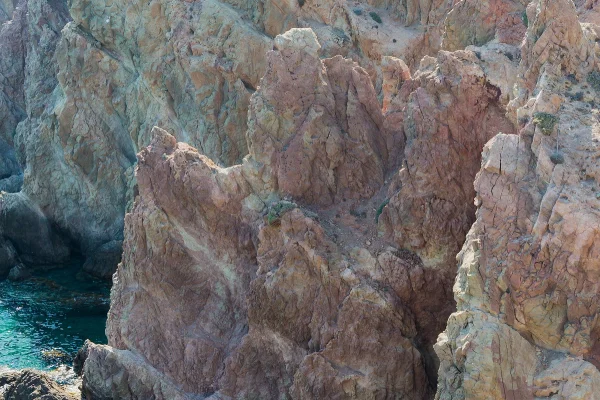
From Almería to Mojácar through the desert of the spaghetti westerns and the Sierra Alhamilla: Tabernas, Turrillas, the mining kilns of Lucainena, the hanging houses of Sorbas, and Bédar.
Published on
Highlights
- 1The Tabernas Desert and its western film towns
- 2The Sierra Alhamilla via Turrillas
- 3The calcination kilns of Lucainena de las Torres
- 4The hanging houses of Sorbas above the Aguas river
About this route
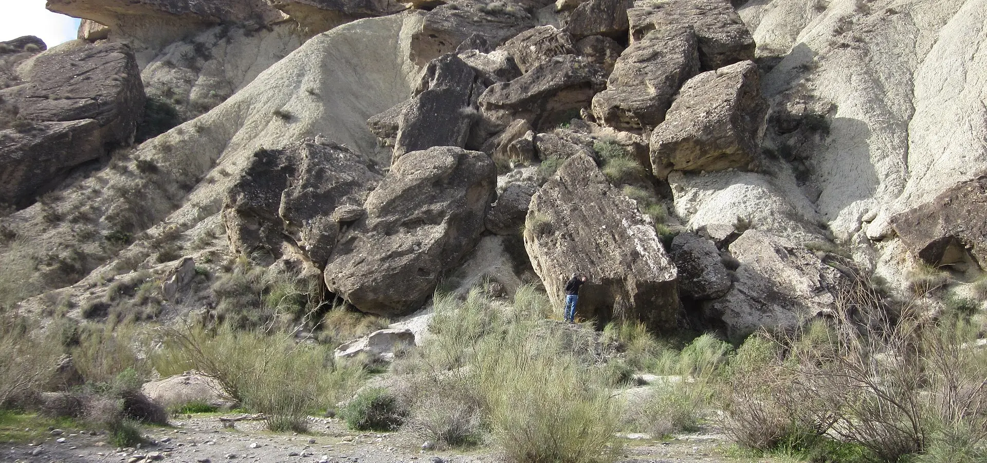
Tabernas is spaghetti-western country: Sergio Leone filmed here in the 1960s, and those shoots left behind the western towns that can still be visited today, Fort Bravo, Oasys MiniHollywood and Western Leone. The desert has been a protected natural area since 1989.
From Tabernas the route climbs into the Sierra Alhamilla. Turrillas sits at around 850 metres, below Colativí, the highest peak of the range. Lucainena de las Torres keeps the calcination kilns where iron ore was roasted before being sent down to the coast on a 36-kilometre mining railway to Agua Amarga, opened in 1896.
Sorbas has its houses hanging over a meander of the Aguas river and, next door, the Karst en Yesos de Sorbas natural area, with more than a thousand caves that can only be visited with a guide or a permit. Bédar, which lived off iron mining around the turn of the 20th century, is the last climb before dropping to Mojácar, a member of Los Pueblos Más Bonitos de España.
This is the dry half of Almería, a companion to the Cabo de Gata route along the coast. The mountain roads carry little traffic and have linked bends; take care after rain, as the dry riverbeds wash mud and stones onto the tarmac.
Route stops
Tabernas
Village
Desert town, in a protected natural area since 1989 and the setting of Sergio Leone's westerns.
Turrillas
Village
Village in the Sierra Alhamilla, at around 850 metres.
Lucainena de las Torres
Village
Iron-ore calcination kilns a kilometre west of the village, and the old mining railway to Agua Amarga.
Sorbas
Village
Houses hanging over the Aguas river; next door, the Karst en Yesos natural area.
Bédar
Village
Hill village with traces of its mining past.
Practical information
Weather
AEMET normals (Almería airport, 1981-2010): in January, an average high of 16.9 °C, an average low of 8.3 °C and just 2.9 days of rain, the driest winter on the mainland. In the sierra, at about 850 metres, there can be early-morning frost. Best avoided in summer.
Traffic
Mountain roads with little traffic. After heavy rain (especially autumn storms) dry riverbeds can leave mud and stones on the road. The Sorbas caves can only be visited with a guide or a permit.
Fuel stops
It is about 121 km. Leave Almería with a full tank: between Tabernas and Sorbas there are only very small villages.
Where to stay on this route
The towns this route passes through — useful for splitting it into stages or sleeping near the start. Book ahead in high season.
- TabernasSee places to stay
- TurrillasSee places to stay
- Lucainena de las TorresSee places to stay
Affiliate links: if you book through them, Nomadiq earns a small commission at no extra cost to you.