![[object Object]](https://cdn.sanity.io/images/nbs5i7n6/production/f4fa9693de7e5033fa0836280610e8104465758a-1920x1277.jpg?rect=0%2C99%2C1920%2C1080&w=1920&h=1080&q=90&auto=format&fit=max&fm=webp&dl=)
Motorcycle routes in Asturias 🇪🇸
6 routes available
Asturias is the paradise of the Picos de Europa, the Lagos de Covadonga, the Cantabrian mountain passes and the green coast. Technical roads through high mountains with alpine scenery.
High mountain passes, technical roads with continuous bends, high density of northern European bikers in summer. Rain likely year-round.
- Published routes
- 6From 120 to 220 km per route
- Total kilometres
- 980 km
- Average difficulty
- 4/5 · Hard
- Best season
- May to October
- Highest elevation gain
- 2,700 mPeak altitude 1,609 m
- Routes with GPX
- 6 of 6
What riding Asturias is like
By road character: linked curves (6 routes), technical road (5 routes), mountain pass (4 routes), low traffic (2 routes), coastal (1 route), charming villages (1 route).
The longest is San Glorio Pass and Fuentes de Invierno (Winter Springs) at 220 km; the shortest, Puerto del Angliru: Spain's Steepest Wall at 120 km. The highest point is reached on San Glorio Pass and Fuentes de Invierno (Winter Springs), at 1,609 m. The most demanding one rates 5 out of 5 for difficulty.
The season most of them share runs from May to October.
These routes pass through villages such as Arenas de Cabrales, Potes, Cudillero, Luarca, Santa Eulalia de Oscos, Riosa, Pola de Somiedo, and Sotres. And stop at viewpoints such as Lagos de Covadonga, Puerto de San Isidro, Puerto de San Glorio, Desfiladero de Caranga, Puerto de Somiedo, and Poncebos. They cross passes such as Cumbre del Angliru (1.573 m).
Routes in Asturias
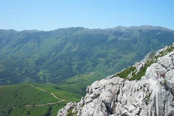
Puerto del Angliru: Spain's Steepest Wall
Asturias
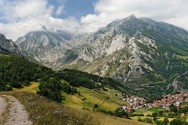
Peaks: Bulnes and Sotres
Asturias
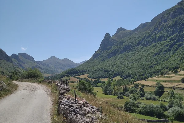
Senda del Oso and Somiedo
Asturias
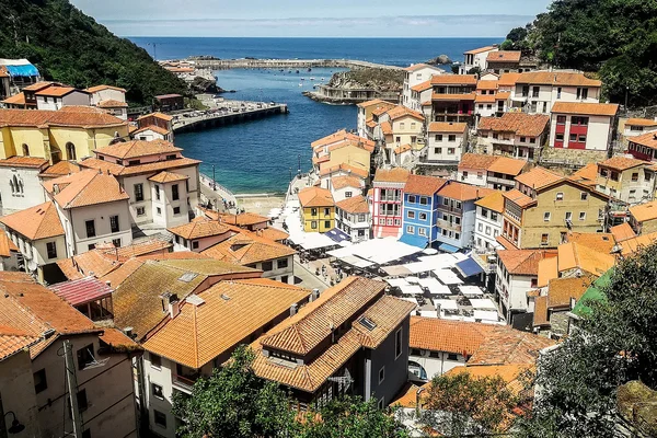
Costa Verde: Cudillero, Luarca and Oscos
Asturias
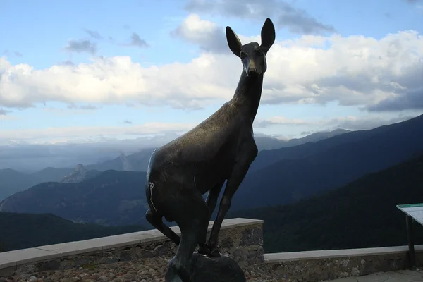
San Glorio Pass and Fuentes de Invierno (Winter Springs)
Asturias
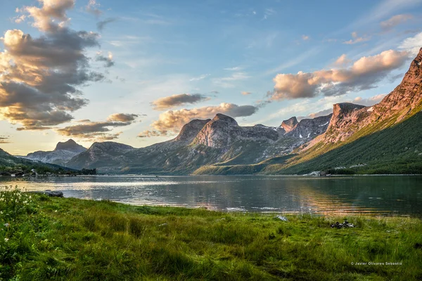
Lakes of Covadonga and central Picos de Europa
Asturias
Take all 6 Asturias routes as GPX
A single file with every track in the region, ready for your GPS or for Calimoto, Kurviger and Google Maps.
Free · No spam
Compare every route in Asturias
6 published routes in Asturias, 980 km in total. Each row shows the route's actual figures: distance, riding time, route type, surface, difficulty, cumulative ascent, best season and downloadable GPX track.
Scroll the table sideways to see every column.
| Route | Distance | Riding time | Type | Surface | Difficulty | Elevation gain | Best season | GPX |
|---|---|---|---|---|---|---|---|---|
| Puerto del Angliru: Spain's Steepest Wall | 120 km | 3h 30min | Out & back | Tarmac | 5/5 · Expert | 2,400 m | May to October | Download |
| Peaks: Bulnes and Sotres | 140 km | 4h | Loop | Tarmac | 4/5 · Hard | 2,000 m | May to October | Download |
| Senda del Oso and Somiedo | 170 km | 4h | Loop | Tarmac | 4/5 · Hard | 2,200 m | May to October | Download |
| Costa Verde: Cudillero, Luarca and Oscos | 180 km | 4h 30min | Loop | Tarmac | 3/5 · Moderate | 1,700 m | May to September | Download |
| San Glorio Pass and Fuentes de Invierno (Winter Springs) | 220 km | 5h 30min | Loop | Tarmac | 4/5 · Hard | 2,700 m | May to October | Download |
| Lakes of Covadonga and central Picos de Europa | 150 km | 4h | Loop | Tarmac | 4/5 · Hard | 2,200 m | May to October | Download |