
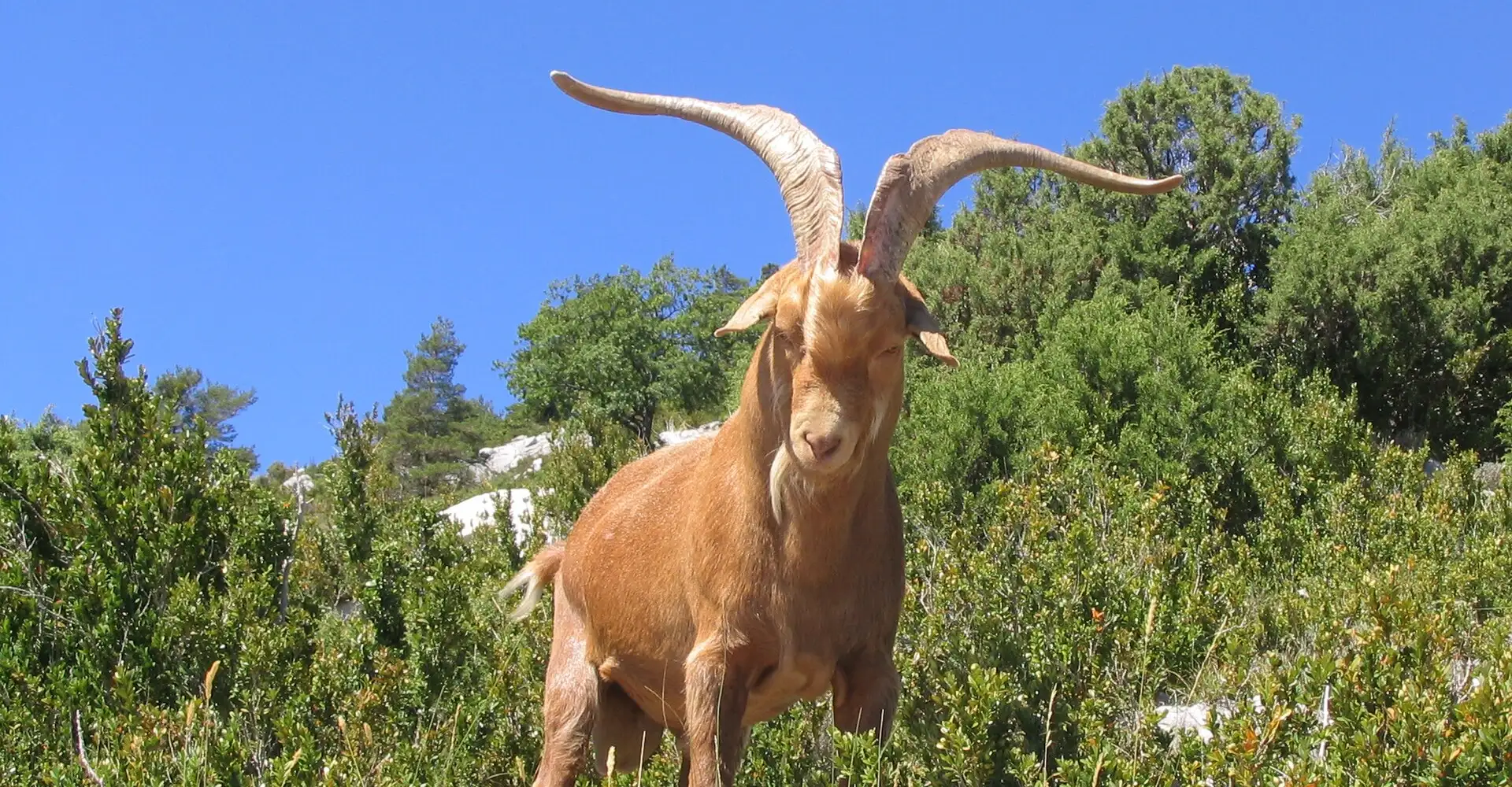
Gorges du Verdon
The Gorges du Verdon, the "Grand Canyon of Europe": 700 m deep, turquoise waters and the legendary Route des Crêtes with viewpoints over the void. Probably the best motorbike route in France.
Checking the route…
Roadbook
6 points- km 0Start
Moustiers-Sainte-Marie
683 m - km 18.3
Route des Crêtes
871 mRoad with viewpoints over the canyon.
Viewpoint - km 53.7
Balcons de la Mescla
886 mVerdon-Artuby confluence.
Viewpoint - km 65.4
Pont de l'Artuby
936 m182 m bridge over the ravine.
Viewpoint - km 121
Lac de Sainte-Croix
508 mTurquoise reservoir surrounded by lavender.
Viewpoint - km 150.9Finish
Moustiers-Sainte-Marie
684 m
Take the route to Google Maps
- Moustiers-Sainte-Marie
- Route des Crêtes
- Balcons de la Mescla
- Pont de l'Artuby
- Lac de Sainte-Croix
- Moustiers-Sainte-Marie
We add waypoints from the GPX so Google Maps sticks to the route's roads (they show up as extra stops). To follow the exact track, use the GPX.
Profile
487 → 1,075 mRoadbook distances and heights come from the route GPX.
Highlights
- 01Gorges du Verdon: the deepest canyon in Western Europe
- 02Route des Crêtes: viewpoints overlooking the abyss
- 03Corniche Sublime: panoramic views of the entire canyon
- 04Lake Sainte-Croix: turquoise and lavender waters
About this route
The Gorges du Verdon are probably the most famous and spectacular motorcycling route in the whole of France, and many European motorcyclists consider them the best experience on two wheels on the continent. It is the deepest river canyon in Western Europe: 700 metres of vertical limestone cliffs with the River Verdon winding its way along the bottom in an almost unreal turquoise colour. Comparisons with the Grand Canyon in Colorado are inevitable and, although the Verdon is more modest in scale, it is infinitely superior in terms of accessibility and the quality of the road.
The classic Verdon circuit combines two legendary roads: the Route des Crêtes (D23) along the north bank, and the Corniche Sublime (D71) along the south bank. The Route des Crêtes is probably the most spectacular: it winds right along the edge of the gorge with natural viewing points (the famous ‘belvédères’) that look out over the abyss without any guardrails, offering vertical views of 700 metres above the river. Some of these viewpoints are literally at the end of a rocky passageway reached by walking 50 metres from the road, and the sensation of vertigo is comparable to that felt on a coastal cliff.
The Corniche Sublime, along the south bank, is equally impressive but has a different character: the road is higher above the river and the views are more panoramic, with the entire canyon stretching out before you. The natural rock bridges and the viewing points at the Balcons de la Mescla (where the Verdon meets the Artuby in a spectacular confluence) are unmissable. The Pont de l’Artuby, a stone bridge 182 metres high above the gorge, is the highest bungee-jumping site in France and one of the highest in Europe.
Lac de Sainte-Croix, where the Verdon flows into a turquoise reservoir surrounded by lavender and Provençal wheat fields, is the natural end point of the route and one of the most photographed landscapes in the whole of Provence. Here you can hire an electric pedal boat to explore the start of the canyon from the water – a completely different perspective that complements the motorbike experience.
Motorcycling tips: the roads in the Verdon are technical, with tight bends and some narrow sections, particularly on the Route des Crêtes. In summer (July–August) traffic can be heavy, especially at weekends. The best time to visit is May–June and September–October. Fill up at Moustiers-Sainte-Marie or Aiguines. For a meal, in Moustiers-Sainte-Marie (listed as one of France’s most beautiful villages), Chef Alain Ducasse’s La Bastide de Moustiers offers a first-class dining experience. And a tip: doing the circuit anti-clockwise (first the Route des Crêtes, then the Corniche Sublime) is the standard route, but doing it the other way round is just as spectacular and tends to have slightly less traffic.
Practical information
Weather
Mediterranean. Hot in summer. Possible storms in autumn.
Traffic
High traffic July-August. Much better on weekdays.
Fuel stops
Petrol stations in Moustiers, Castellane and Aiguines.
Where to stay on this route
The towns this route passes through — useful for splitting it into stages or sleeping near the start. Book ahead in high season.
- Moustiers-Sainte-MarieSee places to stay
Affiliate links: if you book through them, Nomadiq earns a small commission at no extra cost to you.
Published on
Related routes
Cote d'Azur and Maritime Alps
Route Napoléon: Grasse to Gap
Provence and Camargue
Luberon: hanging villages and lavender
Cote d'Azur and Maritime Alps
Col de la Bonette: the roof of Europe on a motorbike
Cote d'Azur and Maritime Alps