The Lower Guadiana by motorcycle: Castro Marim, Alcoutim and Mértola
Best Season
There is no published normal for the interior; Faro's (IPMA, 1981-2010) gives a January average high of 16.1 °C and low of 7.9 °C, and inland mornings are colder. No passes, no snow. Inland Alentejo and Algarve are very hot in summer, so November to February is a good time.
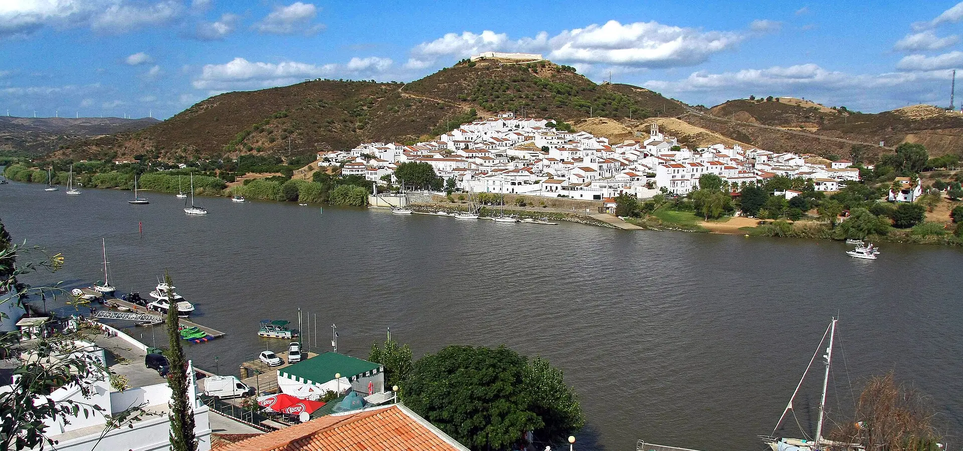
Along the Portuguese bank of the Guadiana, facing Huelva: Castro Marim castle, the riverside road to Alcoutim, Mértola and its former mosque, and the São Domingos mine.
Published on
Highlights
- 1Castro Marim, first seat of the Order of Christ (1319)
- 2The Guadiana riverside road to Alcoutim
- 3Mértola and the church that was a mosque
- 4São Domingos mine, closed in 1966
About this route
In its final stretch the Guadiana forms the border, and on the Portuguese bank a narrow road hugs the river. The route leaves Castro Marim, whose castle became in 1319 the first seat of the Order of Christ, founded by King Dinis to replace the Templars, and follows the river upstream via Guerreiros do Rio to Alcoutim, across the water from Sanlúcar de Guadiana.
North of Alcoutim, the N122 crosses the Vascão river on a bridge that was closed from October 2024 to October 2025. Infraestruturas de Portugal reopened it with traffic-light-controlled alternating traffic on weekdays while follow-up works are completed. On the far side lies Mértola, the "museum town", whose parish church keeps the layout of the former mosque and its mihrab.
From Mértola the route crosses the Guadiana to the São Domingos mine, a copper and pyrite operation that closed in 1966. Its ore went down by rail to the quay at Pomarão, on the river, and from there by boat to Vila Real de Santo António. Today the industrial ruins remain, along with the old railway bed, now a trail.
The way back south runs through Martim Longo and the interior of the Alcoutim district to Castro Marim. It is a winter route: no mountain passes, no risk of snow, and the bends are gentle and linked.
Route stops
Guerreiros do Rio
Village
Hamlet on the road that follows the bank of the Guadiana.
Alcoutim
Village
Small town with a castle facing Sanlúcar de Guadiana across the river.
Mértola
Village
The museum town: castle and a parish church built on the former mosque.
Mina de São Domingos
Monument
Ruins of the copper and pyrite mine, closed in 1966.
Martim Longo
Village
Village in the interior of the Alcoutim district, on the way back.
Practical information
Weather
There is no published normal for the interior; Faro's (IPMA, 1981-2010) gives a January average high of 16.1 °C and low of 7.9 °C, and inland mornings are colder. No passes, no snow. Inland Alentejo and Algarve are very hot in summer, so November to February is a good time.
Traffic
Vascão bridge (N122, km 72.8, between Alcoutim and Mértola): reopened on 3 October 2025, with traffic-light-controlled alternating traffic on weekdays while follow-up works last (Infraestruturas de Portugal). The riverside road via Guerreiros do Rio is narrow.
Fuel stops
It is about 192 km through sparsely populated country. Arrive in Castro Marim with a full tank (OpenStreetMap lists no petrol station in the town; the nearest are about 7 km away, towards the coast) and fill up again in Mértola, which has one.
Where to stay on this route
The towns this route passes through — useful for splitting it into stages or sleeping near the start. Book ahead in high season.
- Guerreiros do RioSee places to stay
- AlcoutimSee places to stay
- MértolaSee places to stay
Affiliate links: if you book through them, Nomadiq earns a small commission at no extra cost to you.


