

Motorcycle routes in Basque Country 🇪🇸
5 routes available
- Routes
- 5
- km
- 585
- High point
- 1,430 m
The Basque Country offers the Aralar and Urkiola mountain passes, the Basque Coast with its cliffs, the Urdaibai Reserve and the inland mountain ranges. Technical roads, green landscapes and changeable weather.
Short but technical mountain passes, very twisty secondary roads, high-quality tarmac. Frequent rain, mild temperatures. Best from May to October.
The routes, highest first
Altitude · difficulty- Published routes
- 5From 74 to 160 km per route
- Total kilometres
- 585 km
- Average difficulty
- 3/5 · Moderate
- Best season
- April to October
- Highest elevation gain
- 2,100 mPeak altitude 1,430 m
- Routes with GPX
- 5 of 5
What riding Basque Country is like
By road character: linked curves (5 routes), charming villages (3 routes), coastal (2 routes), low traffic (2 routes), mountain pass (2 routes), technical road (2 routes).
The longest is Sierra de Aralar and border Navarre at 160 km; the shortest, Basque Coast: Zumaia, Getaria and San Sebastian at 74 km. The highest point is reached on Sierra de Aralar and border Navarre, at 1,430 m. The most demanding one rates 4 out of 5 for difficulty.
The season most of them share runs from April to October.
These routes pass through villages such as Getaria, San Sebastián, Otxandio, Mundaka, and Lekunberri. And stop at viewpoints such as Zumaia. They cross passes such as Puerto de Barazar and Alto del Vivero.
Routes in Basque Country
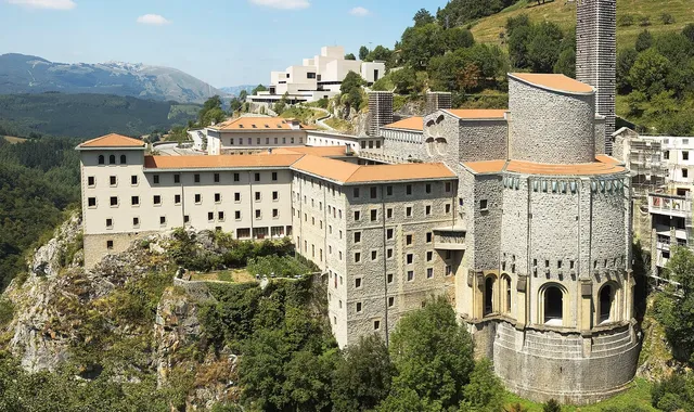
Basque Country
Oñati, Arantzazu and the Heart of Gipuzkoa
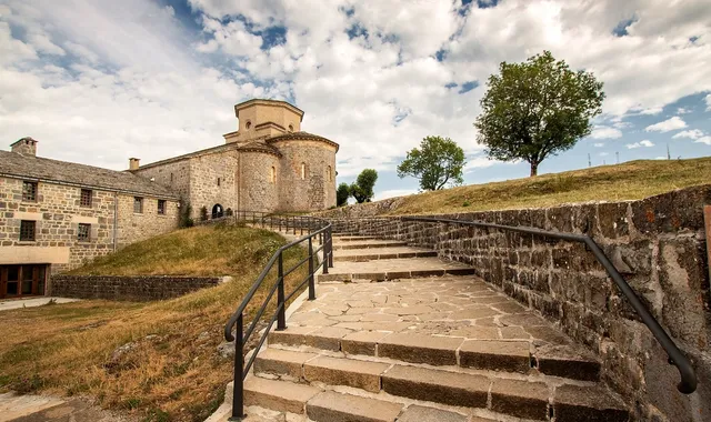
Basque Country
Sierra de Aralar and border Navarre
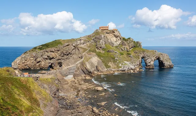
Basque Country
Urdaibai and Gernika Reserve
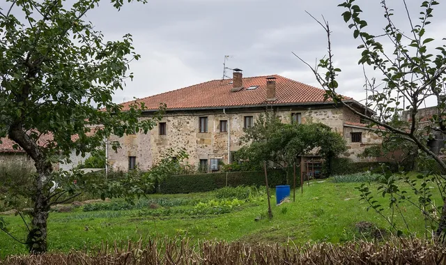
Basque Country
Urkiola and the mountain passes of Biscay
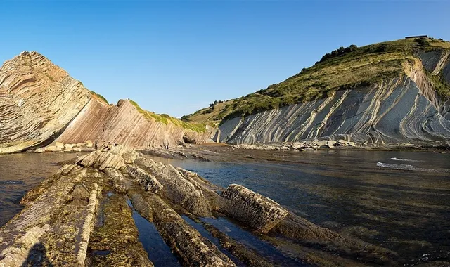
Basque Country
Basque Coast: Zumaia, Getaria and San Sebastian
Compare every route in Basque Country
5 published routes in Basque Country, 585 km in total. Each row shows the route's actual figures: distance, riding time, route type, surface, difficulty, cumulative ascent, best season and downloadable GPX track.
Scroll the table sideways to see every column.
| Route | Distance | Riding time | Type | Surface | Difficulty | Elevation gain | Best season | GPX |
|---|---|---|---|---|---|---|---|---|
| Oñati, Arantzazu and the Heart of Gipuzkoa | 110 km | 3h | Loop | Tarmac | 3/5 · Moderate | 1,600 m | April to October | Download |
| Sierra de Aralar and border Navarre | 160 km | 4h | Loop | Tarmac | 4/5 · Hard | 2,100 m | April, May, June, September, October | Download |
| Urdaibai and Gernika Reserve | 130 km | 3h 15min | Loop | Tarmac | 2/5 · Easy | 900 m | May to September | Download |
| Urkiola and the mountain passes of Biscay | 111 km | 3h | Loop | Tarmac | 4/5 · Hard | 1,500 m | April, May, June, September, October | Download |
| Basque Coast: Zumaia, Getaria and San Sebastian | 74 km | 2h 30min | Out & back | Tarmac | 3/5 · Moderate | 560 m | May to September | Download |