![[object Object]](https://cdn.sanity.io/images/nbs5i7n6/production/fb26b7227575f85ac4015b34817f3effc73f74d0-1920x1248.jpg?rect=0%2C84%2C1920%2C1080&w=1920&h=1080&q=90&auto=format&fit=max&fm=webp&dl=)
Motorcycle routes in Canary Islands 🇪🇸
2 routes available
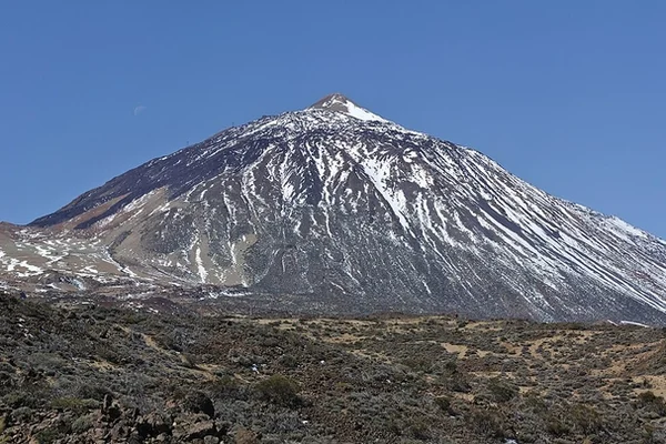
The Canary Islands are a year-round riding paradise thanks to their subtropical climate. Tenerife, with Teide (3,718 m, the highest mountain in Spain) and the Anaga forest, and Gran Canaria, with over 60 microclimates and landscapes running from desert to laurel forest, offer volcanic mountain roads found nowhere else in Europe.
Volcanic mountain roads with constant bends and good to excellent tarmac. You need a ferry between islands, or to ship the bike. Perfect weather year-round. Extreme altitude on Teide (3,718 m). Fitness matters, given the altitude swings.
- Published routes
- 2From 150 to 180 km per route
- Total kilometres
- 330 km
- Average difficulty
- 4/5 · Hard
- Best season
- All year round
- Highest elevation gain
- 4,000 mPeak altitude 2,200 m
- Routes with GPX
- 2 of 2
What riding Canary Islands is like
By road character: linked curves (2 routes), mountain pass (2 routes), technical road (2 routes).
The longest is Tenerife: Teide, Anaga and the Vertical Island at 180 km; the shortest, Gran Canaria: The Miniature Continent at 150 km. The highest point is reached on Tenerife: Teide, Anaga and the Vertical Island, at 2,200 m. The most demanding one rates 4 out of 5 for difficulty.
The season most of them share runs from All year round.
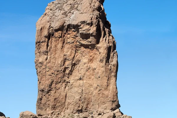
These routes pass through villages such as Tejeda, Artenara, and La Orotava. And stop at viewpoints such as Roque Nublo (1.813 m), Las Cañadas del Teide, and Macizo de Anaga.
Routes in Canary Islands
Take all 2 Canary Islands routes as GPX
A single file with every track in the region, ready for your GPS or for Calimoto, Kurviger and Google Maps.
Free · No spam
Compare every route in Canary Islands
2 published routes in Canary Islands, 330 km in total. Each row shows the route's actual figures: distance, riding time, route type, surface, difficulty, cumulative ascent, best season and downloadable GPX track.
Scroll the table sideways to see every column.
| Route | Distance | Riding time | Type | Surface | Difficulty | Elevation gain | Best season | GPX |
|---|---|---|---|---|---|---|---|---|
| Gran Canaria: The Miniature Continent | 150 km | 4h 30min | Loop | Tarmac | 3/5 · Moderate | 3,200 m | All year round | Download |
| Tenerife: Teide, Anaga and the Vertical Island | 180 km | 5h | Loop | Tarmac | 4/5 · Hard | 4,000 m | All year round | Download |