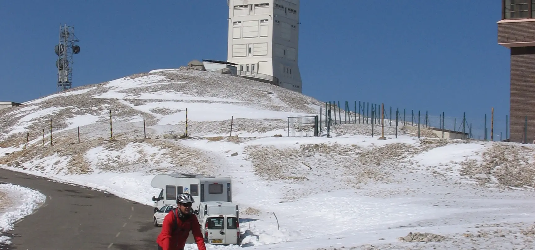
Mont Ventoux: the Beast of Provence
Best Season
Peak closed November-April. Extreme wind possible all year round. Bring warm clothes for the summit even in summer.
Mont Ventoux (1,912 m), "the Beast of Provence", with its moon-shaped summit of white stone. Three uphill slopes, each legendary in cycling and motorcycling.
Highlights
- 1Mont Ventoux (1,912 m): a lunar-like peak of white rock
- 2Three legendary ski runs (Bédoin, Malaucène, Sault)
- 3A panoramic view stretching from the Alps to the Mediterranean
- 4Tommy Simpson Memorial
About this route
Mont Ventoux is arguably the most iconic mountain in the whole of France outside the Alps and the Pyrenees. Its unmistakable silhouette — a bare summit of white limestone that glistens like snow in the Provençal sun — dominates the whole of northern Provence and is visible from dozens of kilometres away. The Romans called it Mons Ventosus (‘windy mountain’) because the tramontana lashes the summit with gusts that can exceed 300 km/h in winter, which has prevented any vegetation from surviving above 1,600 m and created the summit’s famous ‘lunar’ landscape: a desert of white stone beneath utterly clear skies.
The climb up Mont Ventoux has three routes, each with its own character. The most famous is the Bédoin route (south): 21 km with an average gradient of 7.5 per cent, including a final 10 km at over 9 per cent. This is the classic route of the Tour de France, where Tommy Simpson died of exhaustion in 1967 (there is a memorial by the roadside where all cyclists and motorcyclists stop to pay their respects). The Malaucène route (north) is more technical and varied. The Sault climb (east) is the gentlest and the one most highly recommended for a first ascent by motorbike.
For motorcyclists, the appeal of Mont Ventoux lies not only in the sporting challenge but also in the scenery: the mountain offers a vertical journey through three completely different climatic zones in a mere 20 km. Below, the Provençal vineyards of the Côtes-du-Ventoux and fields of lavender; in the middle, dense forests of cedar and pine; and above, a lunar landscape of white limestone without a single tree. The transition is so abrupt that it looks like something out of a National Geographic documentary.
At the summit (1,912 m) there is a weather station, a telecommunications tower and a restaurant/mountain refuge where you can enjoy a meal with views across the whole of Provence. On clear days, the panoramic view stretches from the Alps in the east to the Mediterranean in the south (you can see the sea 150 km away) and as far as the Massif Central in the west. It is one of the most sweeping views in the whole of France.
Motorcycling tips: the road to the summit is closed due to snow from November to April. In summer, it’s hot down below but can be cold and windy up top (bring a windbreaker). Watch out for cyclists – there are thousands of them, especially in July. Fill up with petrol in Bédoin, Malaucène or Sault. For a bite to eat, in Bédoin, Le Mas des Vignes restaurant serves Provençal cuisine made with local produce and Ventoux wines. And here’s a tip: make the climb at dawn. The first light of the sun on the white rock of the summit, with the mists of the valley fading into the distance, is probably the finest visual experience the Ventoux has to offer.
Route stops
Chalet Reynard
Restaurant
Refuge halfway up with restaurant.
Sommet du Mont Ventoux
Viewpoint
Peak at 1,912 m, lunar landscape.
Malaucène
Village
Provençal village at the foot of the northern slopes.
Practical information
Weather
Peak closed November-April. Extreme wind possible all year round. Bring warm clothes for the summit even in summer.
Traffic
Thousands of cyclists in summer. Better early.
Fuel stops
Petrol stations in Bédoin, Malaucène and Sault.
Where to stay on this route
The towns this route passes through — useful for splitting it into stages or sleeping near the start. Book ahead in high season.
- MalaucèneSee places to stay
- BédoinSee places to stay
Affiliate links: if you book through them, Nomadiq earns a small commission at no extra cost to you.
Related routes
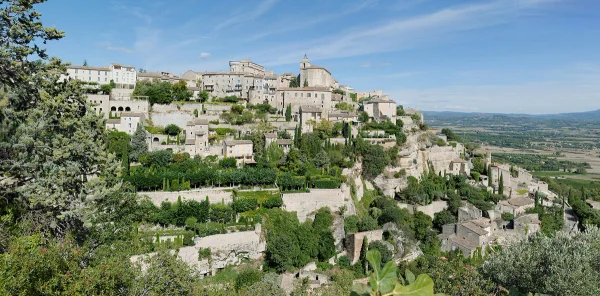
Luberon: hanging villages and lavender
Provence and Camargue
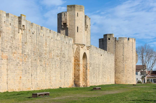
Camargue: Saintes-Maries-de-la-Mer and Aigues-Mortes
Provence and Camargue
Gorges du Verdon
Provence and Camargue
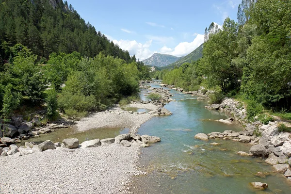
Route Napoléon: Grasse to Gap
Cote d'Azur and Maritime Alps