![[object Object]](https://cdn.sanity.io/images/nbs5i7n6/production/cceabcf584ef76f0804322ba65350184357ca9bd-1920x1440.jpg?rect=0%2C180%2C1920%2C1080&w=1920&h=1080&q=90&auto=format&fit=max&fm=webp&dl=)
Motorcycle routes in Languedoc and Cathar Country 🇫🇷
4 routes available
The Languedoc hides the most spectacular Cathar castles in Europe, the Canal du Midi (UNESCO World Heritage), the Corbières vineyards and nearly empty secondary roads through a landscape of Mediterranean garrigue.
Quiet secondary roads through inland hills, limestone gorges, cliff-top castles and some coastal stretches. Good tarmac, low traffic outside summer. Long season: March to November.
- Published routes
- 4From 130 to 250 km per route
- Total kilometres
- 740 km
- Average difficulty
- 3/5 · Moderate
- Best season
- March, April, May, June, September, October, November
- Highest elevation gain
- 1,800 mPeak altitude 1,000 m
- Routes with GPX
- 4 of 4
What riding Languedoc and Cathar Country is like
By road character: low traffic (4 routes), linked curves (3 routes), charming villages (3 routes), canyon (1 route), technical road (1 route).
The longest is Canal du Midi: Toulouse to Béziers at 250 km; the shortest, Gorges de Galamus and Pays Cathare hinterland at 130 km. The highest point is reached on Gorges de Galamus and Pays Cathare hinterland, at 1,000 m. The most demanding one rates 4 out of 5 for difficulty.
The season most of them share runs from March, April, May, June, September, October, November.
These routes pass through villages such as Lagrasse, Castelnaudary, Béziers, and Caudiès-de-Fenouillèdes. And stop at viewpoints such as Gorges de Galamus.
Routes in Languedoc and Cathar Country
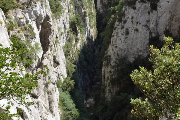
Gorges de Galamus and Pays Cathare hinterland
Languedoc and Cathar Country
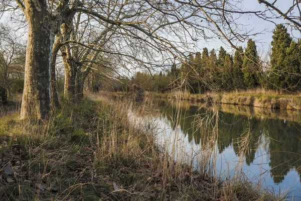
Canal du Midi: Toulouse to Béziers
Languedoc and Cathar Country
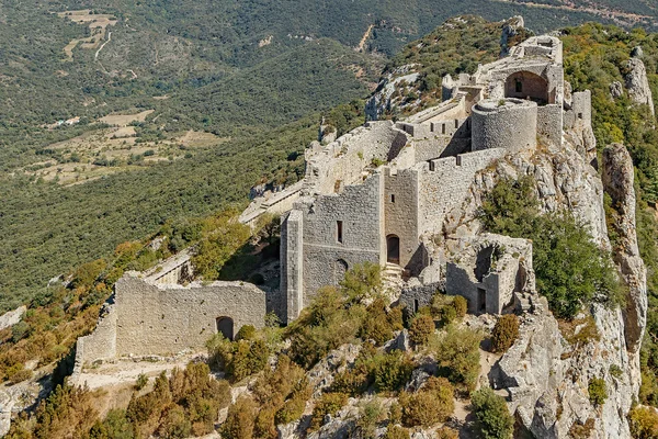
Châteaux Cathares: Peyrepertuse, Quéribus and Puilaurens
Languedoc and Cathar Country
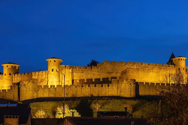
Carcassonne and Corbières
Languedoc and Cathar Country
Take all 4 Languedoc and Cathar Country routes as GPX
A single file with every track in the region, ready for your GPS or for Calimoto, Kurviger and Google Maps.
Free · No spam
Compare every route in Languedoc and Cathar Country
4 published routes in Languedoc and Cathar Country, 740 km in total. Each row shows the route's actual figures: distance, riding time, route type, surface, difficulty, cumulative ascent, best season and downloadable GPX track.
Scroll the table sideways to see every column.
| Route | Distance | Riding time | Type | Surface | Difficulty | Elevation gain | Best season | GPX |
|---|---|---|---|---|---|---|---|---|
| Gorges de Galamus and Pays Cathare hinterland | 130 km | 3h 30min | Loop | Tarmac | 4/5 · Hard | 1,600 m | April, May, June, September, October | Download |
| Canal du Midi: Toulouse to Béziers | 250 km | 5h 30min | One-way | Tarmac | 1/5 · Very easy | 600 m | March, April, May, June, September, October, November | Download |
| Châteaux Cathares: Peyrepertuse, Quéribus and Puilaurens | 160 km | 4h 30min | Loop | Tarmac | 3/5 · Moderate | 1,800 m | April, May, June, September, October | Download |
| Carcassonne and Corbières | 200 km | 5h | Loop | Tarmac | 2/5 · Easy | 1,500 m | March, April, May, June, September, October, November | Download |