![[object Object]](https://cdn.sanity.io/images/nbs5i7n6/production/fd8eea814d31d3c1e84142b695ee3ba23a870df0-1920x1152.jpg?rect=0%2C36%2C1920%2C1080&w=1920&h=1080&q=90&auto=format&fit=max&fm=webp&dl=)
Motorcycle routes in Dordogne and the Southwest 🇫🇷
3 routes available
The French southwest offers the Dordogne valleys with their castles and medieval villages, the French Basque Country with its unique character, and the Gers with its sunflower-covered hills and fortified bastides.
Gentle secondary roads through valleys and hills, little traffic, medieval villages around every corner. Good tarmac. Pleasant climate nearly all year. Ideal for relaxed rides.
- Published routes
- 3From 120 to 200 km per route
- Total kilometres
- 500 km
- Average difficulty
- 2/5 · Easy
- Best season
- April to October
- Highest elevation gain
- 1,400 mPeak altitude 600 m
- Routes with GPX
- 3 of 3
What riding Dordogne and the Southwest is like
By road character: charming villages (3 routes), linked curves (2 routes), low traffic (2 routes).
The longest is Dordogne Valley: Sarlat, Beynac and Rocamadour at 200 km; the shortest, Pays Basque français: Espelette, Sare and La Rhune at 120 km. The highest point is reached on Pays Basque français: Espelette, Sare and La Rhune, at 600 m. The most demanding one rates 2 out of 5 for difficulty.
The season most of them share runs from April to October.
These routes pass through villages such as Fourcès, Condom, Espelette, and Sare.
Routes in Dordogne and the Southwest
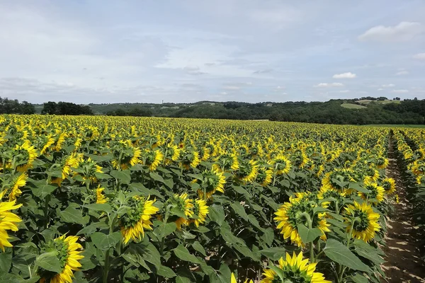
Gers: bastides, armagnac and sunflowers
Dordogne and the Southwest
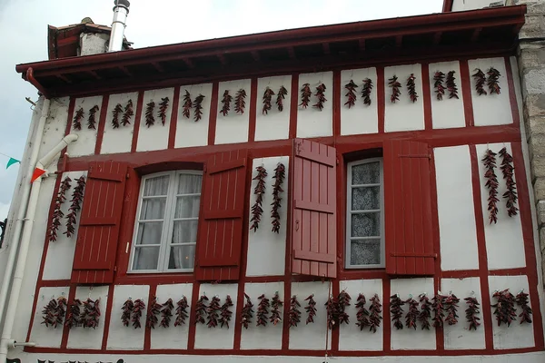
Pays Basque français: Espelette, Sare and La Rhune
Dordogne and the Southwest
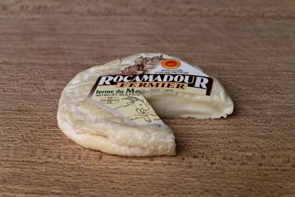
Dordogne Valley: Sarlat, Beynac and Rocamadour
Dordogne and the Southwest
Take all 3 Dordogne and the Southwest routes as GPX
A single file with every track in the region, ready for your GPS or for Calimoto, Kurviger and Google Maps.
Free · No spam
Compare every route in Dordogne and the Southwest
3 published routes in Dordogne and the Southwest, 500 km in total. Each row shows the route's actual figures: distance, riding time, route type, surface, difficulty, cumulative ascent, best season and downloadable GPX track.
Scroll the table sideways to see every column.
| Route | Distance | Riding time | Type | Surface | Difficulty | Elevation gain | Best season | GPX |
|---|---|---|---|---|---|---|---|---|
| Gers: bastides, armagnac and sunflowers | 180 km | 4h 30min | Loop | Tarmac | 1/5 · Very easy | 800 m | May to October | Download |
| Pays Basque français: Espelette, Sare and La Rhune | 120 km | 3h 15min | Loop | Tarmac | 2/5 · Easy | 1,100 m | April to October | Download |
| Dordogne Valley: Sarlat, Beynac and Rocamadour | 200 km | 5h | Loop | Tarmac | 2/5 · Easy | 1,400 m | March, April, May, June, September, October, November | Download |