![[object Object]](https://cdn.sanity.io/images/nbs5i7n6/production/d515064b313c9d7c79af623b449e268c0bcd6ae0-1920x1106.jpg?rect=0%2C13%2C1920%2C1080&w=1920&h=1080&q=90&auto=format&fit=max&fm=webp&dl=)
Motorcycle routes in Algeria 🇩🇿
3 routes available
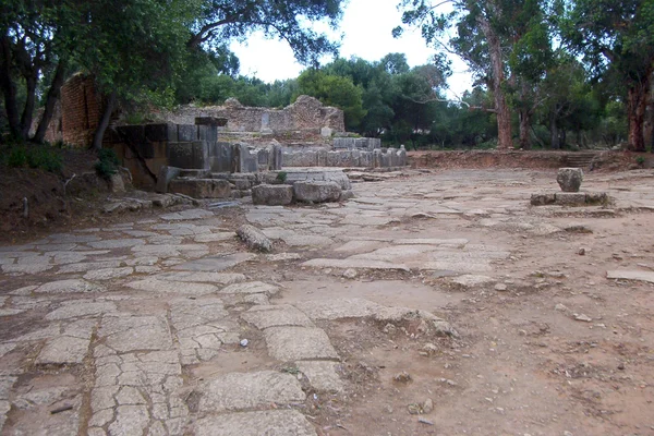
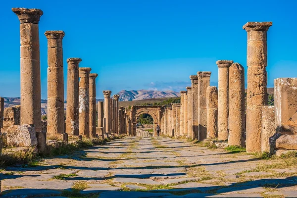
Algeria is the great motorcycling secret of North Africa. With virtually no tourism since the 1990s, it preserves intact Roman cities, spectacular gorges, Atlas mountains and an authenticity hard to find in the modern Maghreb. For adventurous bikers with a visa.
Main roads in good condition (motorways and national roads), secondary roads variable. Aggressive traffic in cities, quiet inland. Visa formalities required. Frequent petrol stations and very cheap fuel. Best October to May.
- Published routes
- 3From 300 to 400 km per route
- Total kilometres
- 1,050 km
- Average difficulty
- 3/5 · Moderate
- Best season
- March, April, May, October, November
- Highest elevation gain
- 3,000 mPeak altitude 1,300 m
- Routes with GPX
- 3 of 3
What riding Algeria is like
By road character: low traffic (3 routes), charming villages (3 routes), linked curves (2 routes), canyon (1 route), coastal (1 route).
The longest is Gorges of Tighanimine and Constantine at 400 km; the shortest, Turquoise Coast: Tipasa, Cherchell and Ténès at 300 km. The highest point is reached on Gorges of Tighanimine and Constantine, at 1,300 m. The most demanding one rates 4 out of 5 for difficulty.
The season most of them share runs from March, April, May, October, November.
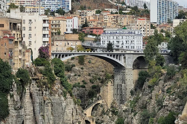
These routes pass through villages such as Tizi Ouzou, Béjaïa, and Ténès. And stop at viewpoints such as Pont Sidi M'Cid and Gorges de Tighanimine.
Routes in Algeria
Take all 3 Algeria routes as GPX
A single file with every track in the region, ready for your GPS or for Calimoto, Kurviger and Google Maps.
Free · No spam
Compare every route in Algeria
3 published routes in Algeria, 1,050 km in total. Each row shows the route's actual figures: distance, riding time, route type, surface, difficulty, cumulative ascent, best season and downloadable GPX track.
Scroll the table sideways to see every column.
| Route | Distance | Riding time | Type | Surface | Difficulty | Elevation gain | Best season | GPX |
|---|---|---|---|---|---|---|---|---|
| Turquoise Coast: Tipasa, Cherchell and Ténès | 300 km | 7h | One-way | Tarmac | 2/5 · Easy | 1,500 m | March, April, May, October, November | Download |
| Gorges of Tighanimine and Constantine | 400 km | 9h | Loop | Tarmac | 4/5 · Hard | 3,000 m | March, April, May, October, November | Download |
| Djemila and the Roman ruins of Kabylia | 350 km | 8h | Loop | Tarmac | 3/5 · Moderate | 2,500 m | March, April, May, October, November | Download |