![[object Object]](https://cdn.sanity.io/images/nbs5i7n6/production/2e49a06e4b21531b8e0bef3ab939eb01c373d669-1920x1165.jpg?rect=0%2C43%2C1920%2C1080&w=1920&h=1080&q=90&auto=format&fit=max&fm=webp&dl=)
Motorcycle routes in Andorra 🇦🇩
5 routes available
Andorra, the Pyrenean microstate between Spain and France, holds some of the highest and most spectacular mountain passes in the range. In just 468 km² it packs more bends per square kilometre than any other country in Europe. The Port d'Envalira (2,408 m) is the highest paved pass in the Pyrenees.
Well-maintained mountain roads with steep gradients and technical bends. Moderate traffic on the main routes. Fuel is cheaper than in Spain or France. Season: June to October.
- Published routes
- 5From 80 to 180 km per route
- Total kilometres
- 570 km
- Average difficulty
- 4/5 · Hard
- Best season
- May to October
- Highest elevation gain
- 4,500 mPeak altitude 2,560 m
- Routes with GPX
- 5 of 5
What riding Andorra is like
By road character: linked curves (5 routes), mountain pass (4 routes), low traffic (3 routes), technical road (3 routes), charming villages (1 route).
The longest is Pass Route: Envalira, Ordino and Gallina in One Day at 180 km; the shortest, Ordino-Arcalis and the Tristaina Lakes at 80 km. The highest point is reached on Ordino-Arcalis and the Tristaina Lakes, at 2,560 m. The most demanding one rates 5 out of 5 for difficulty.
The season most of them share runs from May to October.
These routes pass through villages such as Sant Julia de Loria, Escaldes-Engordany, Encamp, Soldeu, Pas de la Casa, and Ordino. And stop at viewpoints such as Coll de la Gallina (1.907 m), Mirador de la Vall de Madriu, Port d'Envalira (2.408 m), Estany de l'Angonella, Estacion de Arcalis (2.560 m), Arcalis (2.226 m), and Coll de la Gallina (1.910 m).
Routes in Andorra
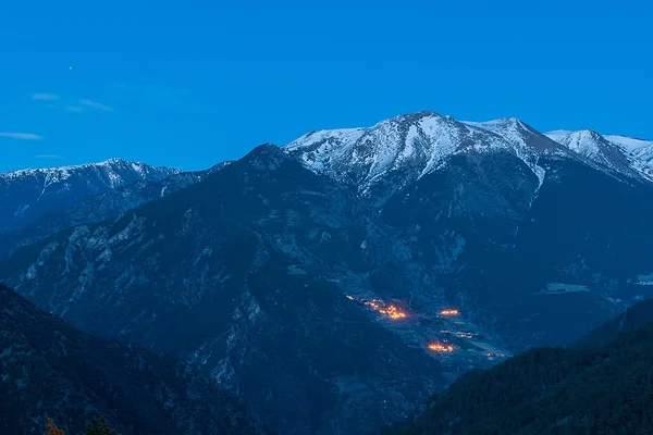
Pass Route: Envalira, Ordino and Gallina in One Day
Andorra
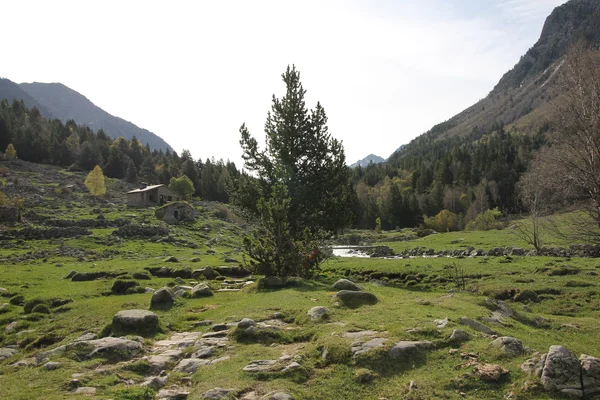
Madriu-Perafita-Claror Valley (UNESCO)
Andorra
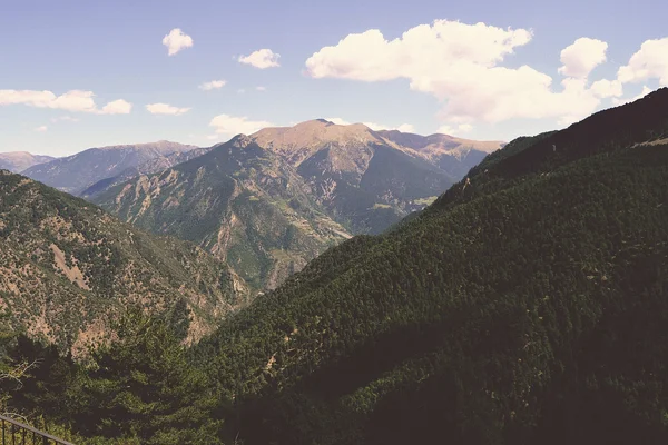
Coll de la Gallina from Sant Julia
Andorra
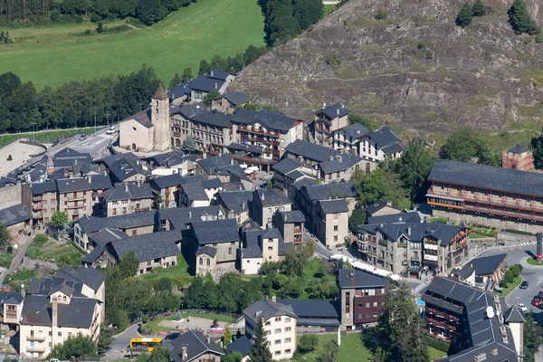
Ordino-Arcalis and the Tristaina Lakes
Andorra
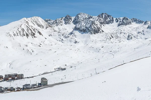
Port d'Envalira (2,408 m): Roof of the Pyrenees
Andorra
Take all 5 Andorra routes as GPX
A single file with every track in the region, ready for your GPS or for Calimoto, Kurviger and Google Maps.
Free · No spam
Compare every route in Andorra
5 published routes in Andorra, 570 km in total. Each row shows the route's actual figures: distance, riding time, route type, surface, difficulty, cumulative ascent, best season and downloadable GPX track.
Scroll the table sideways to see every column.
| Route | Distance | Riding time | Type | Surface | Difficulty | Elevation gain | Best season | GPX |
|---|---|---|---|---|---|---|---|---|
| Pass Route: Envalira, Ordino and Gallina in One Day | 180 km | 6h | Loop | Tarmac | 5/5 · Expert | 4,500 m | June to September | Download |
| Madriu-Perafita-Claror Valley (UNESCO) | 100 km | 3h | Loop | Tarmac | 3/5 · Moderate | 1,500 m | May to October | Download |
| Coll de la Gallina from Sant Julia | 90 km | 2h 30min | Loop | Tarmac | 4/5 · Hard | 1,800 m | May to October | Download |
| Ordino-Arcalis and the Tristaina Lakes | 80 km | 2h 30min | Out & back | Tarmac | 3/5 · Moderate | 1,600 m | May to October | Download |
| Port d'Envalira (2,408 m): Roof of the Pyrenees | 120 km | 3h | Loop | Tarmac | 4/5 · Hard | 2,200 m | May to October | Download |