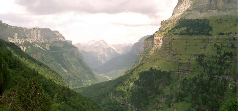
Ordesa and Monte Perdido: Spain's Yosemite
Best Season
High mountain: cold possible all year. Snow October-May on passes. Best June-September.
Ordesa and Monte Perdido National Park (UNESCO), the "Spanish Yosemite" with its vertiginous canyons, waterfalls and the most spectacular Pyrenean passes in Aragón.
Highlights
- 1Valle de Ordesa: the "Spanish Yosemite" (UNESCO)
- 2Cañón de Añisclo: a vertiginous road
- 3Monte Perdido (3,355 m): third highest Pyrenean summit
- 4Aínsa: 12th-century medieval Plaza Mayor
About this route
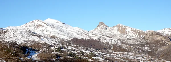
Ordesa y Monte Perdido National Park is the most spectacular natural area in all of Spain and, for many mountaineers and nature lovers, one of the most beautiful in all of Europe. Declared a UNESCO World Heritage Site in 1997 (together with the Cirque de Gavarnie on the French side), it protects a limestone massif that includes Monte Perdido (3,355 m, the third highest summit in the Pyrenees), four monumental canyons (Ordesa, Añisclo, Escuaín and Pineta) and a high-mountain ecosystem with glaciers, ibones (mountain lakes), waterfalls and primary forests.
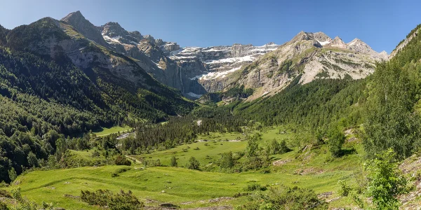
The Valle de Ordesa, the most famous of the four canyons, has been compared to California's Yosemite for its vertical limestone walls that rise more than 1,000 meters above the valley floor, its spectacular waterfalls (the Cola de Caballo, at the head of the valley, drops 70 meters in a curtain of pulverized water) and its centuries-old beech forests that in autumn create a chromatic spectacle of reds, yellows and oranges. The access road to the valley from Torla is narrow and traffic-restricted in summer (a shuttle bus is required), but the approach sections along the A-135 from Aínsa are a biker's delight.
The Cañón de Añisclo is Ordesa's best-kept secret: a narrow, vertical 20 km gorge carved by the Bellós river through the limestone of the massif, with a road (HU-631) that descends to the bottom of the canyon between walls reaching 1,500 meters in height. This road is one of the most spectacular in all of Spain: narrow, without guardrails, with rock on both sides and the river roaring below. You ride it at minimum speed, with respect and awe.
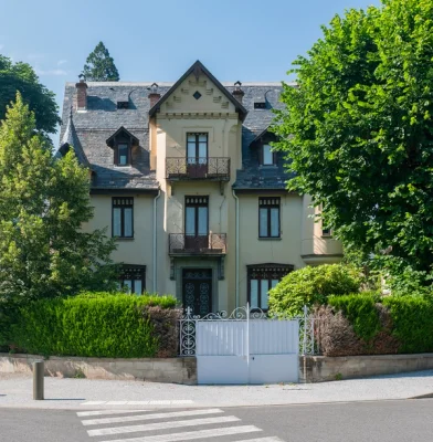
Aínsa, at the foot of the park, is the most beautiful gateway: a medieval town with a 12th-century arcaded Plaza Mayor, a castle with views over the Pyrenees and the confluence of the Cinca and Ara rivers, repeatedly chosen as one of the most beautiful villages in Spain. Boltaña, Broto and Torla complete a circuit of Pyrenean villages that preserve the stone architecture of the Sobrarbe region.
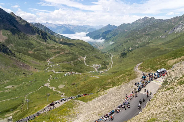
Biker practicalities: the road to the Valle de Ordesa is closed to private traffic in summer (July-September), but the Añisclo road remains open. The Pyrenean passes in the area (Cotefablo, Bielsa) are spectacular but technical. Cold is common even in summer above 1,500 m. Gas stations in Aínsa and Boltaña. For lodging, in Aínsa the Hotel Los Siete Reyes occupies a 12th-century house on the Plaza Mayor. For eating, Sobrarbe beef and chiretas (stuffed lamb stomach, a local specialty) are a must.
Route stops
Torla-Ordesa
Village
Gateway to the Ordesa Valley, stone Pyrenean village.
Cañón de Añisclo
Viewpoint
20 km gorge with vertiginous road.
Aínsa
Village
Medieval town with 12th-century arcaded main square.
Practical information
Weather
High mountain: cold possible all year. Snow October-May on passes. Best June-September.
Traffic
Road to Ordesa closed to traffic in summer (shuttle bus). Añisclo open. Narrow roads.
Fuel stops
Petrol stations in Aínsa and Boltaña. Scarce inside the park.
Where to stay on this route
The towns this route passes through — useful for splitting it into stages or sleeping near the start. Book ahead in high season.
- Torla-OrdesaSee places to stay
- AínsaSee places to stay
Affiliate links: if you book through them, Nomadiq earns a small commission at no extra cost to you.