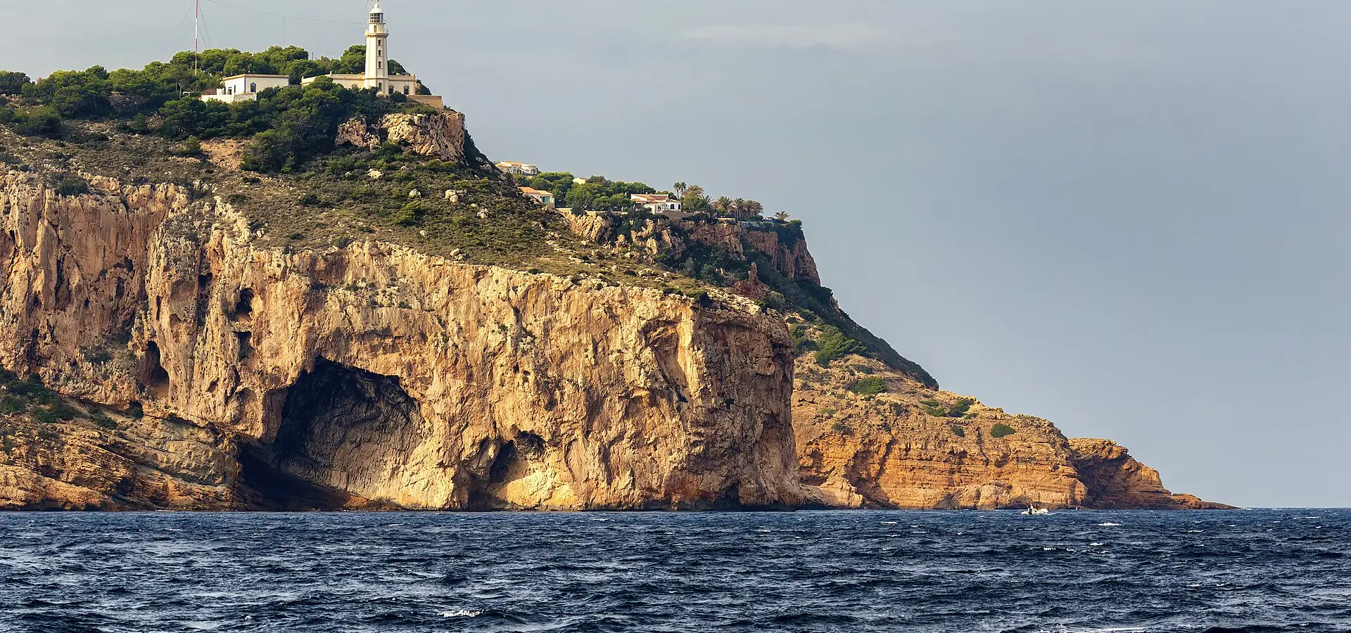
Cabo de la Nao: Jávea and Moraira
Best Season
Mild microclimate all year round. Avoid August for tourism.
The most spectacular coast of Alicante: Cabo de la Nao, turquoise coves, the cliffs of Jávea and the white villages of Moraira and Benissa. The Mediterranean in its purest form.
Highlights
- 1Cap de la Nau: the easternmost point of the Valencian Community
- 2Cala Granadella: one of the best coves in Spain
- 3Moraira: a white Mediterranean village
- 4Views of the Peñón de Ifach
About this route
The Cap de la Nau is the easternmost point of the entire Valencian Community and one of the most spectacular coastal spots on the Spanish Mediterranean. Its geographical location is exceptional: here, the cliffs of the Marina Alta plunge vertically into the sea from over 100 metres, forming a rugged cape that for millennia has served as a nautical reference for sailors navigating between Italy and Spain. From the lighthouse perched at its easternmost tip, on clear days you can see the Balearic Islands — mainly Ibiza and Formentera — on the horizon, a sight that physically confirms that the Mediterranean is literally "turning the corner" here.
Jávea (Xàbia in Valencian) is one of the most photogenic and best-preserved coastal towns on the entire Alicante coast. Unlike Benidorm, Calpe or Altea — which suffered the mass urbanisation of tourism in the 1970s and 80s — Jávea has managed to maintain an almost intact medieval old quarter while developing a small fishing port that is still active. The church of San Bartolomé, planted in the centre of the old town, is a true fortress-church from the 14th century: it has battlements, defensive loopholes and walls up to two metres thick, because when it was built, attacks by Barbary corsairs were so frequent and violent that the inhabitants sheltered inside to withstand sieges.
Cala Granadella, hidden in a small bay south of the Cap de la Nau, is probably one of the best coves in all of Spain and among the most photographed in the Mediterranean. Its transparent turquoise water, its rounded rocks polished by the sea, its golden sand, and above all the contrast between the red of the cliffs and the blue of the sea, have made Granadella an iconic postcard of the Alicante coast. The cove is accessible only via a forest track that ends at a car park (paid in summer) and a small beach bar restaurant at the foot of the beach. In summer it gets brutally crowded, so the best time is very early (before 9am) or at sunset.
Moraira, south of Jávea, is the other star of the route. It is a perfectly preserved white Mediterranean village, with whitewashed houses, cobbled pedestrian streets and a small 16th-century defensive castle planted literally at the edge of the beach, its square tower with battlements facing the sea as a symbol of the times when the entire coast was on permanent alert against pirates. The historic centre of Moraira is one of the few places on the Alicante Costa Blanca where you can still breathe the essence of a traditional Mediterranean village, without having been devoured by mass urbanisation. And the wine-growing area south of the village (Llíber, Senija, Benissa) produces some notable dry white muscat wines with D.O. Alicante.
Riding tips: the route is short (barely 70 km) and comfortable, with no major mountain passes, perfect for a relaxed morning. The best season is spring and autumn; in July and August the traffic is brutal and everything gets overcrowded. Fill up in Dénia or Benissa. For lunch, in Jávea the Restaurante Tula (at the fishing port) serves seafood and arroz a banda made with freshly caught produce. And a tip: the detour to the Mirador del Cap de la Nau (next to the lighthouse) is absolutely essential. The view northward, with the silhouette of Mongó (753 m) rising from the sea, is probably the most complete motorcycle postcard of the entire Costa Blanca.
Route stops
Jávea / Xàbia
Village
Coastal village with old town and fishing port.
Cabo de la Nao
Viewpoint
The most easterly point of the Valencian Community.
Moraira
Village
Mediterranean white village with castle on the beach.
Practical information
Weather
Mild microclimate all year round. Avoid August for tourism.
Traffic
High traffic in summer. Better in spring and autumn.
Fuel stops
Frequent petrol stations all along the coast.
Where to stay on this route
The towns this route passes through — useful for splitting it into stages or sleeping near the start. Book ahead in high season.
- Jávea / XàbiaSee places to stay
- MorairaSee places to stay
- DéniaSee places to stay
Affiliate links: if you book through them, Nomadiq earns a small commission at no extra cost to you.
Related routes
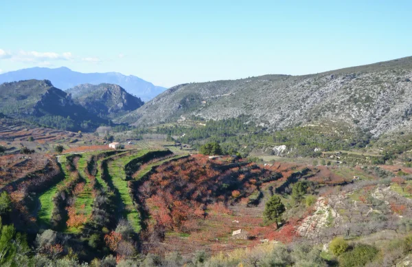
Vall de Gallinera - Moorish Villages
Valencian Community
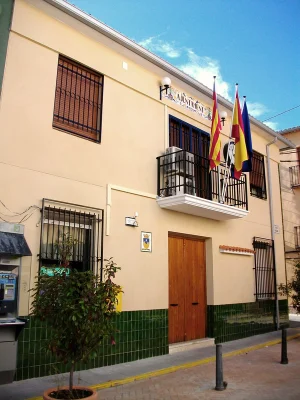
Vall d'Ebo, Vall d'Alcalà and Castell de Castells
Valencian Community
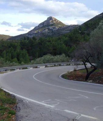
Coll de Rates from Parcent
Valencian Community
Guadalest, Callosa and Tarbena
Valencian Community